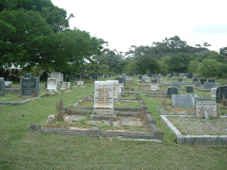
Port Alfred (Settlers') Cemetery
- Country South Africa
- Total identified casualties 8 Find these casualties
- Region Eastern Cape
- Identified casualties from Second World War
- GPS Coordinates Latitude: -33.58638, Longitude: 26.90487
Location information
Travel from town for 2.7 kilometres in the direction of East London. Turn left in Bathurst St at the sign indicating Grahamstown R67, and the church and cemetery are on the left.
History information
During the 1939/45 war No 43 Air School operated from the local aerodrome.


