Verrieres Communal Cemetery
- Country France
- Total identified casualties 1 Find these casualties
- Region Vienne
- Identified casualties from Second World War
- GPS Coordinates Latitude: 46.41177, Longitude: 0.58871
Location information
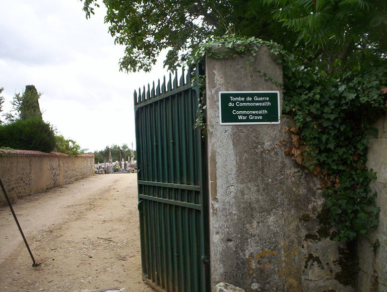
Verrieres is a village and commune some 26 kilometres south-east of Poitiers. The cemetery is literally 100 metres from the village centre on the western outskirts, south of the road to Gencay and before the Dienne (D31) junction, off to the right. The cemetery is behind large blank green gates and there is no external indication that the cemetery lies behind these gates. There is 1 Commonwealth burial of the 1939-1945 war here, buried in the private vault of the families Mangier and De Montjon, near the left side of the cemetery from the entrance.