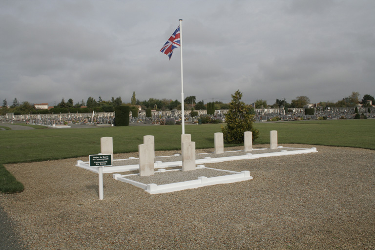
Cognac (Crouin) Communal Cemetery
- Country France
- Total identified casualties 8 Find these casualties
- Region Charente
- Identified casualties from Second World War
- GPS Coordinates Latitude: 45.69495, Longitude: -0.34249
Location information
Cognac is a town on the river Charente about 117 kilometres north of Bordeaux and 42 kilometres west of Angouleme. The communal cemetery is on the western side of the town in the locality of Crouin and lies off the main road to Saintes. There are 8 Commonwealth burials of the 1939-1945 war here, to the right of the main entrance.


