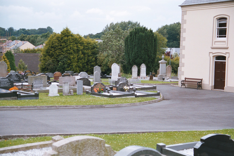
Dromore Unitarian Churchyard
- Country United Kingdom
- Total identified casualties 1 Find these casualties
- Region County Down
- Identified casualties from Second World War
- GPS Coordinates Latitude: 54.41246, Longitude: -6.1506
History information
There is 1 Commonwealth burials of the 1939-1945 war here.


