Sorbon Churchyard
- Country France
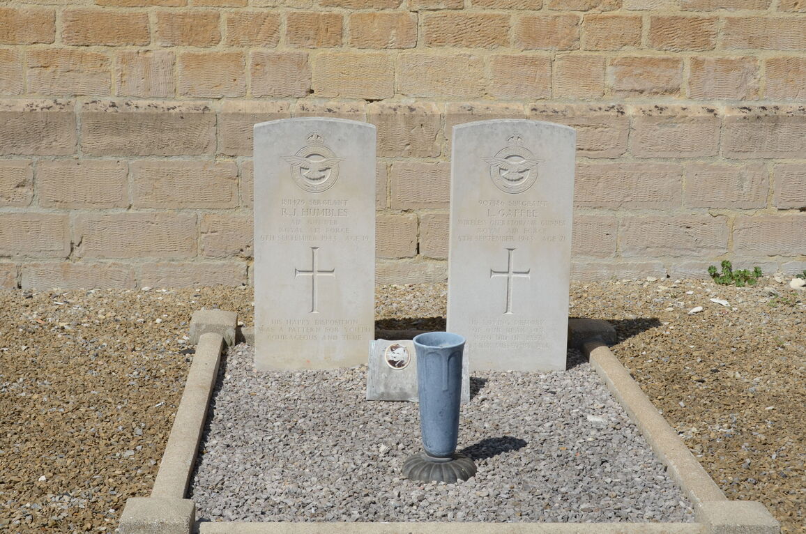
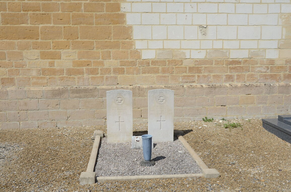
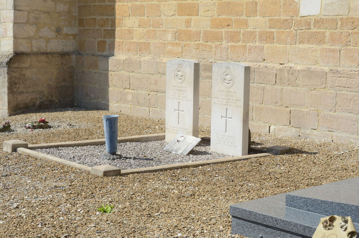
- Total identified casualties 2 Find these casualties
- Region Ardennes
- Identified casualties from Second World War
- GPS Coordinates Latitude: 49.53819, Longitude: 4.35704
Location information
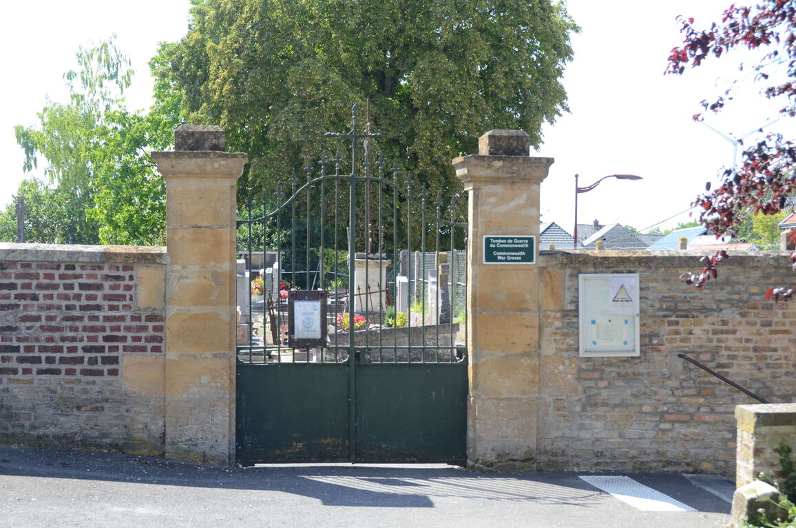
Sorbon is a village and commune about 23 miles (37 kilometres) south-west of Mezieres and about 2.75 miles (4.5 kilometres) north of Rethel. The nearest railway station is at Rethel, on the Paris to Luxembourg line, where taxis may be hired. In the churchyard, near the south-western corner of the church, are the graves of two airmen of the Royal Air Force.