Sevigny-Waleppe Churchyard
- Country France
- Total identified casualties 1 Find these casualties
- Region Ardennes
- Identified casualties from Second World War
- GPS Coordinates Latitude: 49.60468, Longitude: 4.08132
Location information
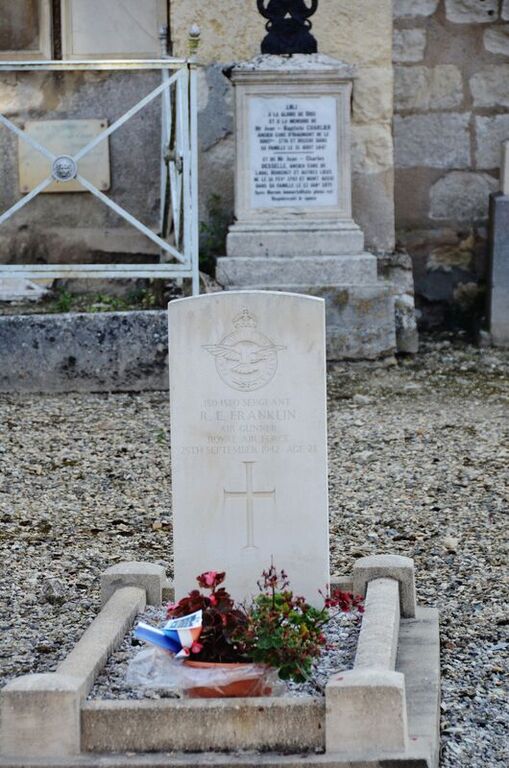
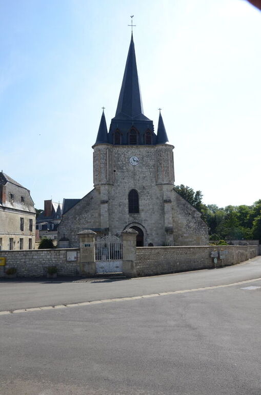
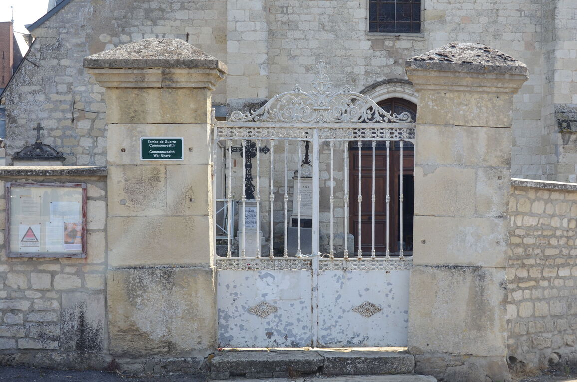
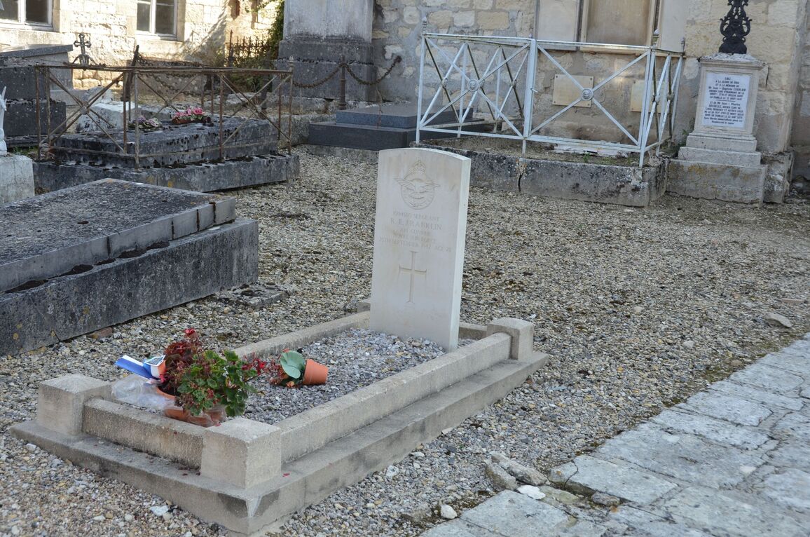
Sevigny-Waleppe is a village and commune 31.25 miles (50 kilometres) south-west of Mezieres and 25 miles (40 kilometres) north of Reims. The village is about 1.5 miles (2.5 kilometres) east of the Reims-Vervins road (N.366). There is no railway station with a reasonable service near the village, but buses pass along the Reims-Vervins road. The British grave in the churchyard is near the south-western corner of the church.


