Rocquigny Communal Cemetery
- Country France
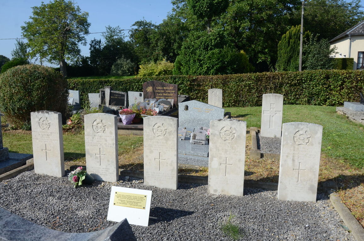
- Total identified casualties 9 Find these casualties
- Region Ardennes
- Identified casualties from First & Second World War
- GPS Coordinates Latitude: 49.69376, Longitude: 4.24318
Location information
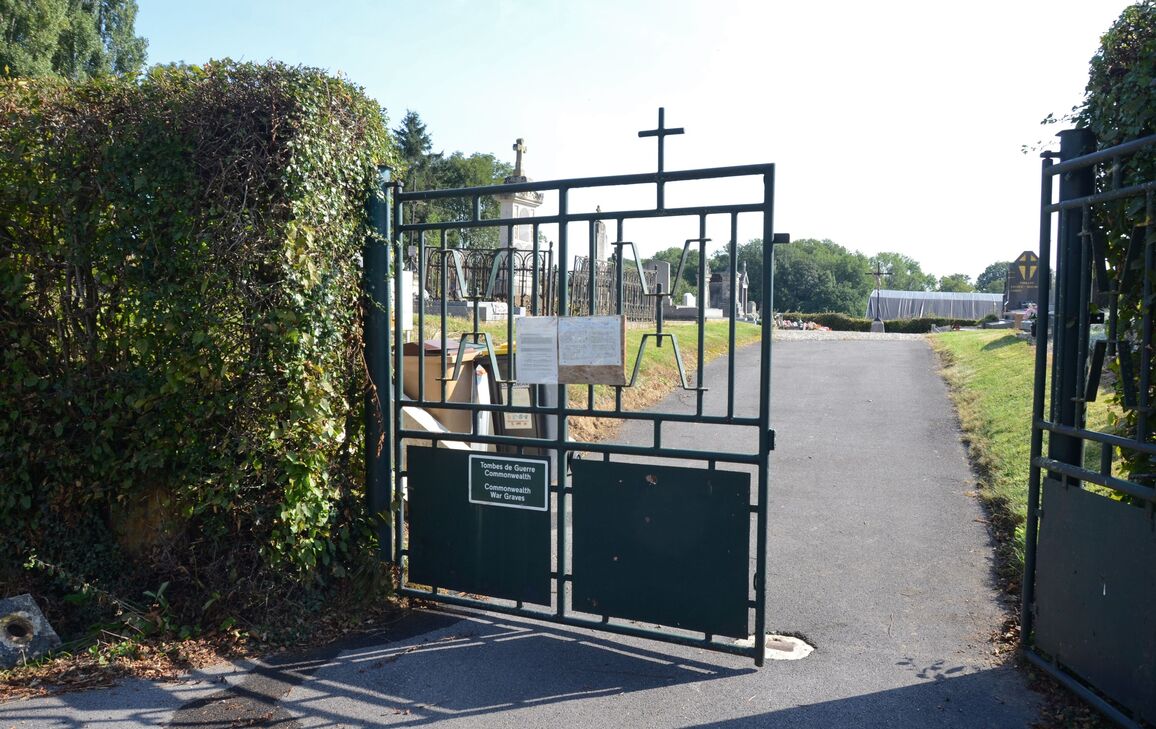
Rocquigny is a village and commune 36 kilometres west-south-west of Mezieres and 22 kilometres north-north-west of Rethel. The cemetery is 400 metres north of the village, on the D. 14 road to the neighbouring village of Mainbressy. About 15 metres west of the cross in the centre are the Commission graves.
History information
Rocquigny Communal Cemetery contains four Commonwealth burials of the First World War and the graves of five Second World War airmen.