Pontavert Communal Cemetery
- Country France
- Total identified casualties 1 Find these casualties
- Region Aisne
- Identified casualties from Second World War
- GPS Coordinates Latitude: 49.40806, Longitude: 3.82509
Location information
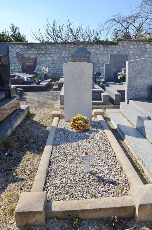
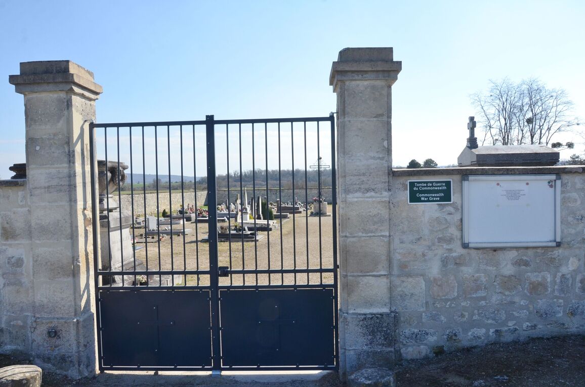
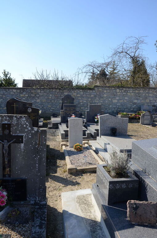
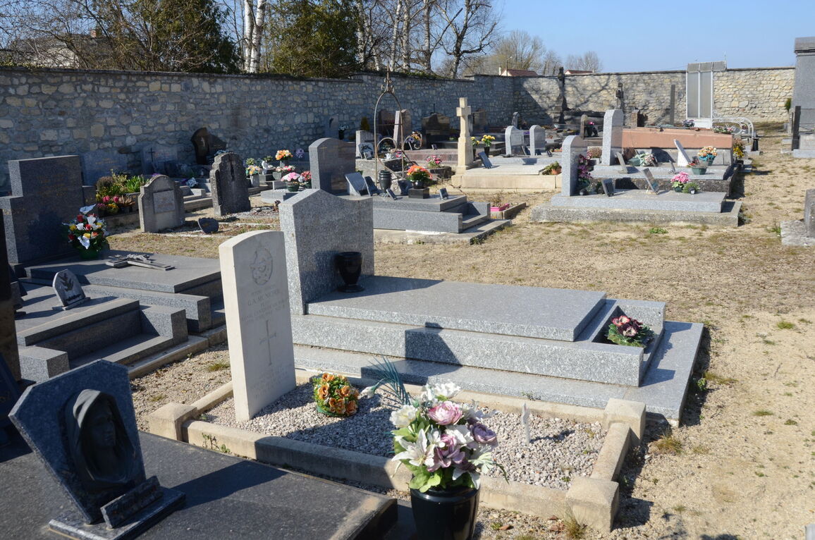
Pontavert is a village and commune 17.5 miles (28 kilometres) south-east of Laon, on the northern side of the river Aisne. It is about 3 miles (5 kilometres) west of the Laon-Reims road (N.44) and is approximately 15 miles from Reims. Both these towns are on the Paris-Luxembourg railway line, and are the most convenient stations for Pontavert. Although there are bus services from both to the village the services are extremely poor, and it is best to go by taxi. The communal cemetery is on the eastern side of the village on the N.325 road, which leads to the Laon-Reims road. Some ten yards south-west of the Calvary in the centre of the cemetery is the grave of an airman of the Royal Canadian Air Force.


