La Malmaison Communal Cemetery
- Country France
- Total identified casualties 8 Find these casualties
- Region Aisne
- Identified casualties from Second World War
- GPS Coordinates Latitude: 49.51894, Longitude: 3.97853
Location information
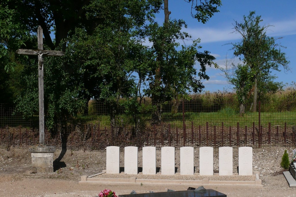
La Malmaison is a village and commune 15.5 miles (25 kilometres) east-south-east of Laon and about 3 miles 5 kilometres) west of the Reims-Vervins road (N. 366), south of the south-eastern corner of the military firing range of sissone. The most convenient railway stations are at Laon and Reims (Marne), both of which have good road and rail communications with Paris and the towns of northern France, and where taxis are available. The communal cemetery is north of the village on the road leading to La Selve. Near the eastern boundary, and south of the Calvary which is opposite the entrance gate, are buried eight airmen. Four of them belonged to the Royal Air Force and four to the Royal Canadian Air Force.