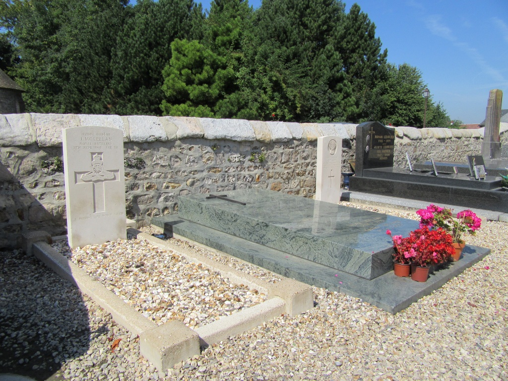
Vittefleur Churchyard
- Country France
- Total identified casualties 2 Find these casualties
- Region Seine-Maritime
- Identified casualties from Second World War
- GPS Coordinates Latitude: 49.81764, Longitude: 0.63761
Location information
Vittefleur is a village and commune 40 kilometres west of Dieppe, on the D.10 road, which runs north from Cany Barville, a small town 12 kilometres south-west of St. Valery-en-Caux.The two British graves are in the south-west corner of the churchyard.