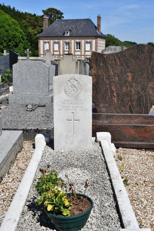
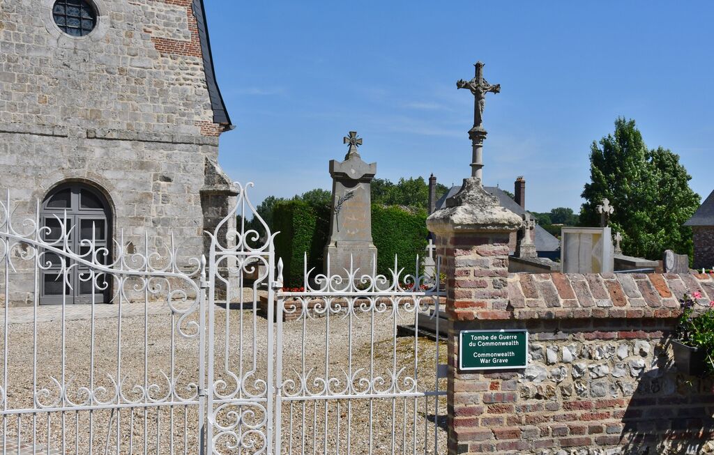
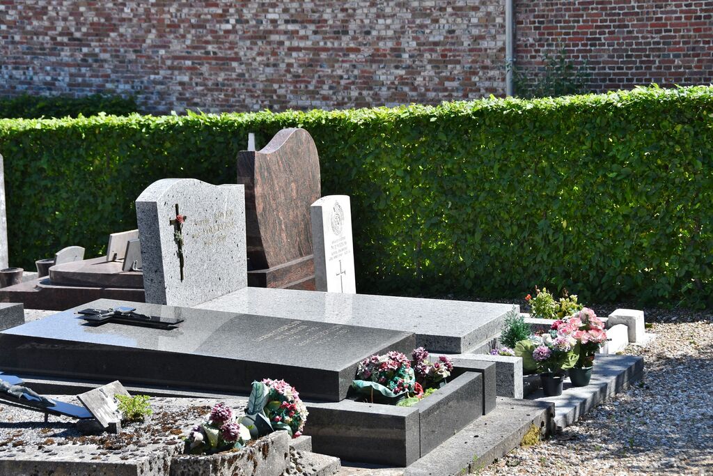
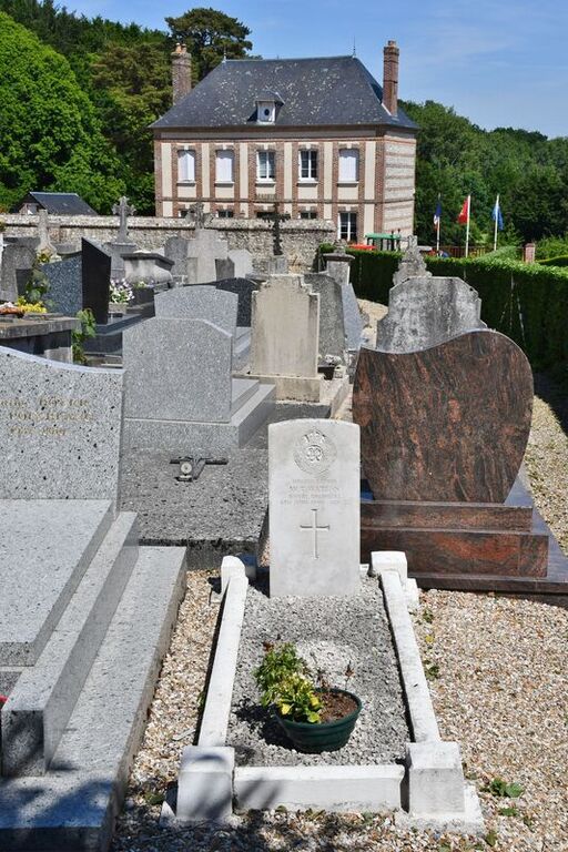
St. Vaast-Dieppedalle Churchyard
- Country France
- Total identified casualties 1 Find these casualties
- Region Seine-Maritime
- Identified casualties from Second World War
- GPS Coordinates Latitude: 49.75601, Longitude: 0.72148
Location information
St. Vaast-Dieppedalle is a village and commune 32 kilometres south-west of Dieppe, 12 kilometres south of St. Valery-en-Caux, and 2 kilometres south of the D142 road from Cany-Barville to Fultot and Doudeville. The Commonwealth war grave is in the south-west corner of the churchyard.