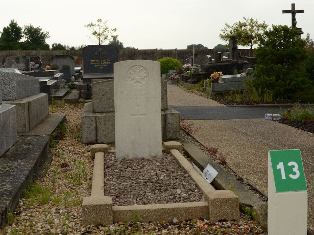
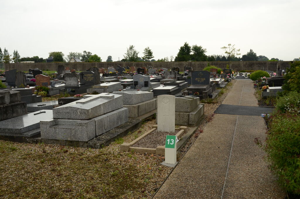
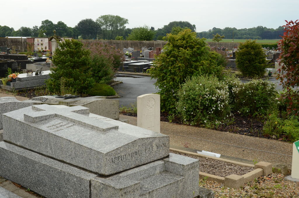
St. Romain-De-Colbosc Communal Cemetery
- Country France
- Total identified casualties 1 Find these casualties
- Region Seine-Maritime
- Identified casualties from Second World War
- GPS Coordinates Latitude: 49.53083, Longitude: 0.36418
Location information
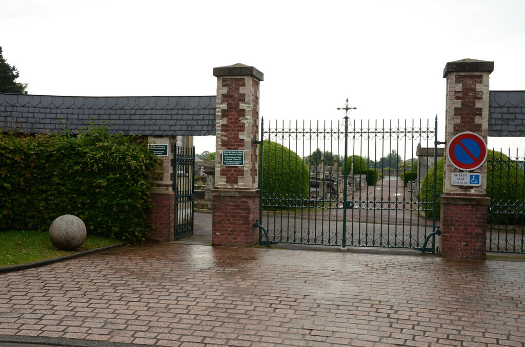
St. Romain-de-Colbosc is a village and commune 20 kilometres east of Le Havre, on the main Le Havre - Bolbec - Amiens road (N.13). The communal cemetery is east of the village, 400 yards from the church, on the D.34 road to the hamlet of Loiseliere, and the British grave will be found near the crucifix at the eastern boundary of the cemetery.