St. Paer Communal Cemetery
- Country France
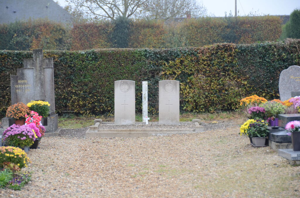
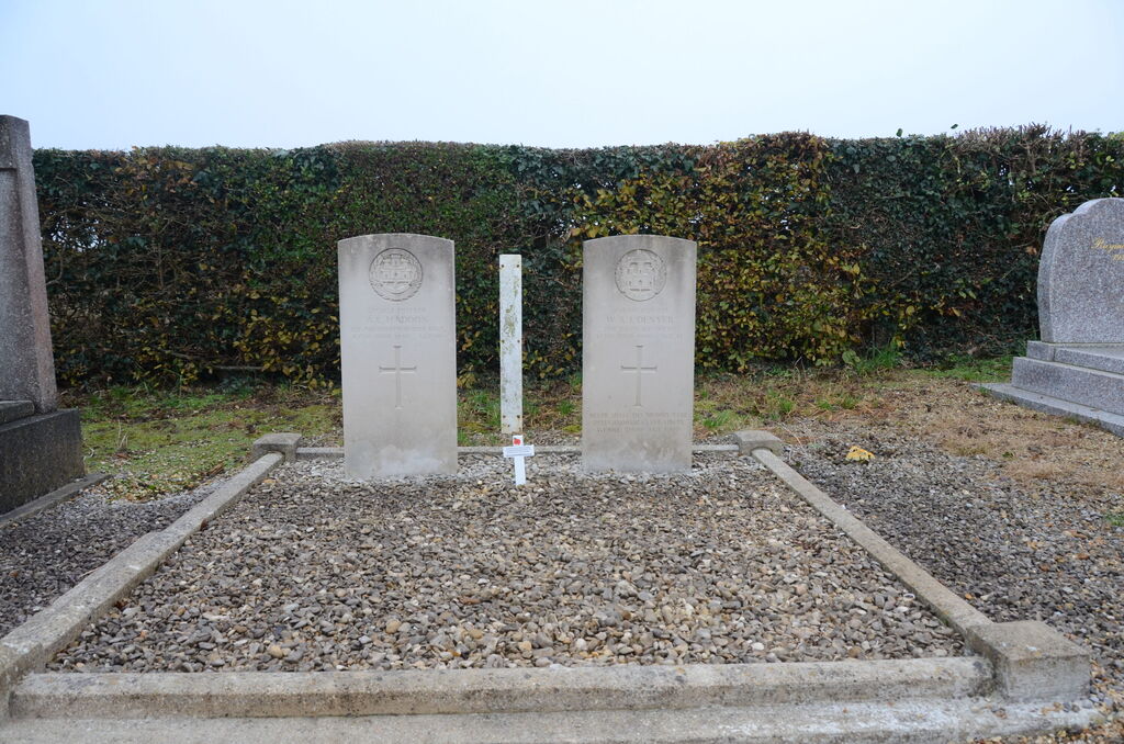
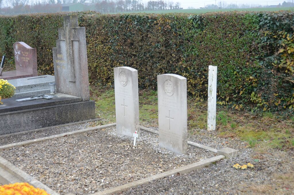
- Total identified casualties 2 Find these casualties
- Region Seine-Maritime
- Identified casualties from Second World War
- GPS Coordinates Latitude: 49.51451, Longitude: 0.88686
Location information
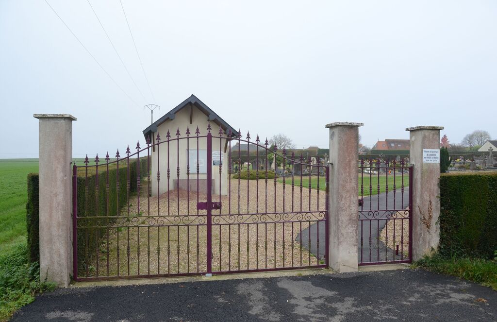
St.Paer is a village and commune 17 kilometres north-west of Rouen, and 5 kilometres north of Duclair. The communal cemetery is in the fields south-east of the village, and is close by the church. Near the centre of the southern boundaries are the graves of 2 British soldiers.