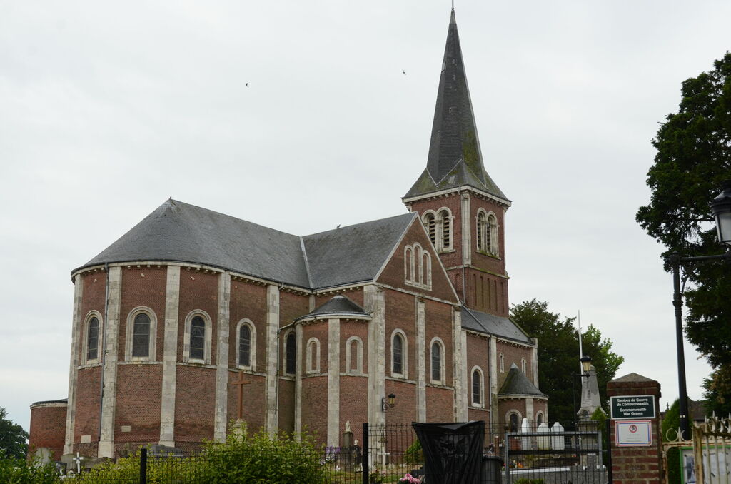
St. Aubin-Routot Churchyard
- Country France
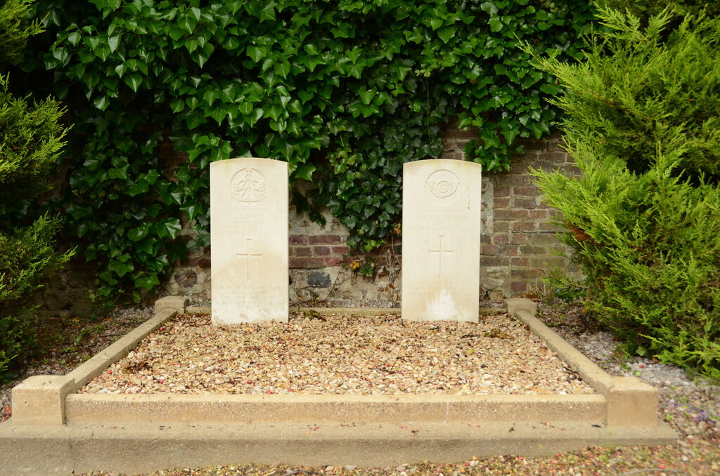
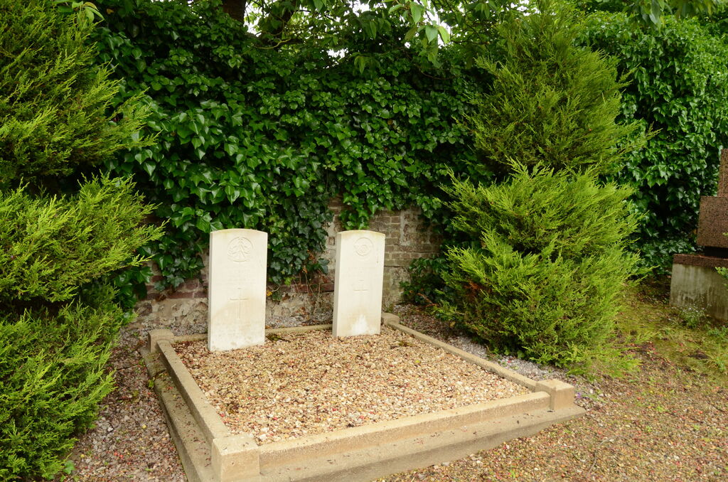
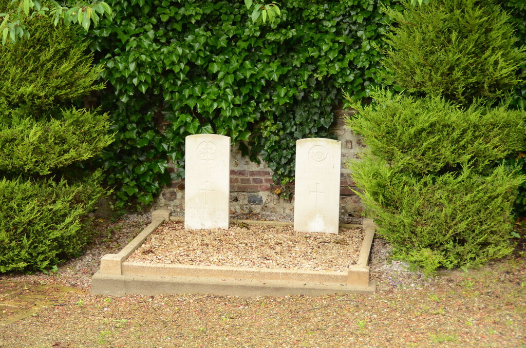
- Total identified casualties 2 Find these casualties
- Region Seine-Maritime
- Identified casualties from Second World War
- GPS Coordinates Latitude: 49.52227, Longitude: 0.32498
Location information
St. Aubin-Routot is a village and commune 11 miles (17 kilometres) east of Le Havre on the N.13 bis (Le Havre-Bolbec-Amiens) road. There are bus services to and from Le Havre and Bolbec. In the south-west corner of the churchyard are the graves of 2 British soldiers.