Realcamp Communal Cemetery
- Country France
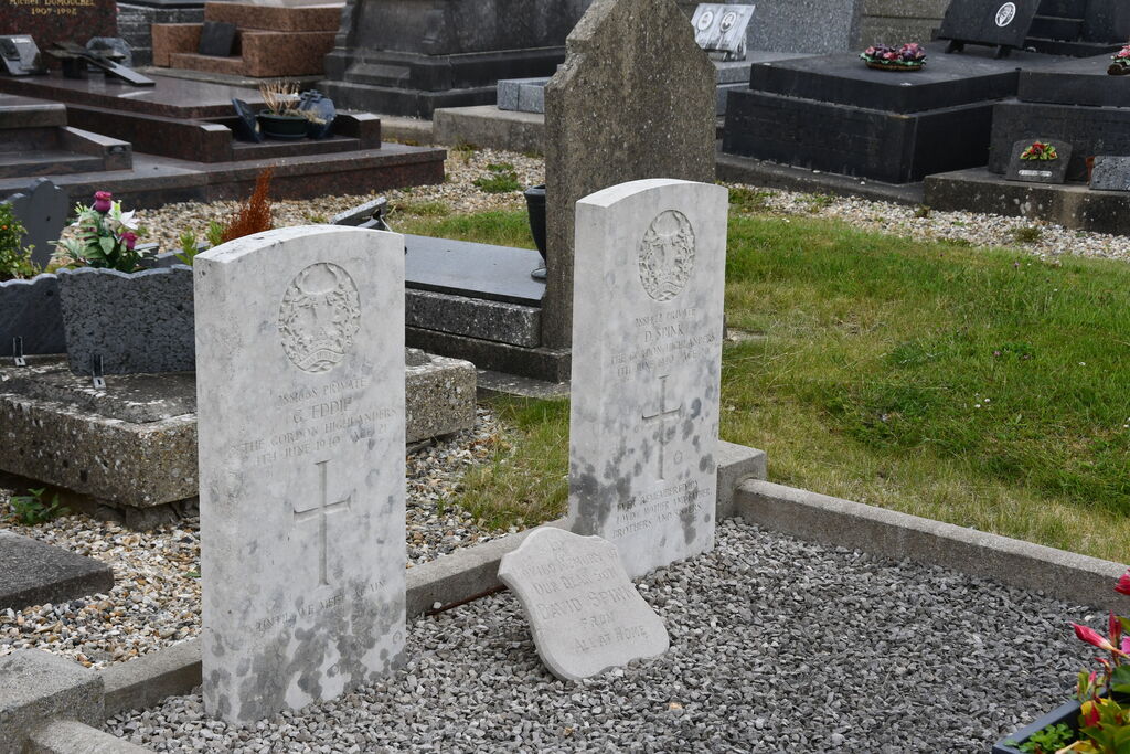
- Total identified casualties 2 Find these casualties
- Region Seine-Maritime
- Identified casualties from Second World War
- GPS Coordinates Latitude: 49.84477, Longitude: 1.61885
Location information
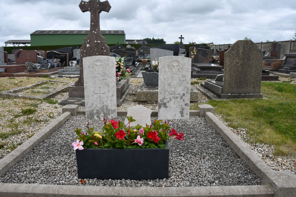
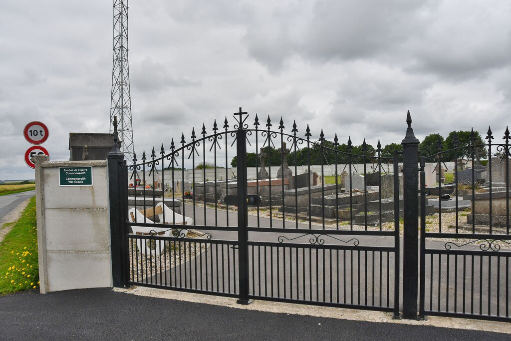
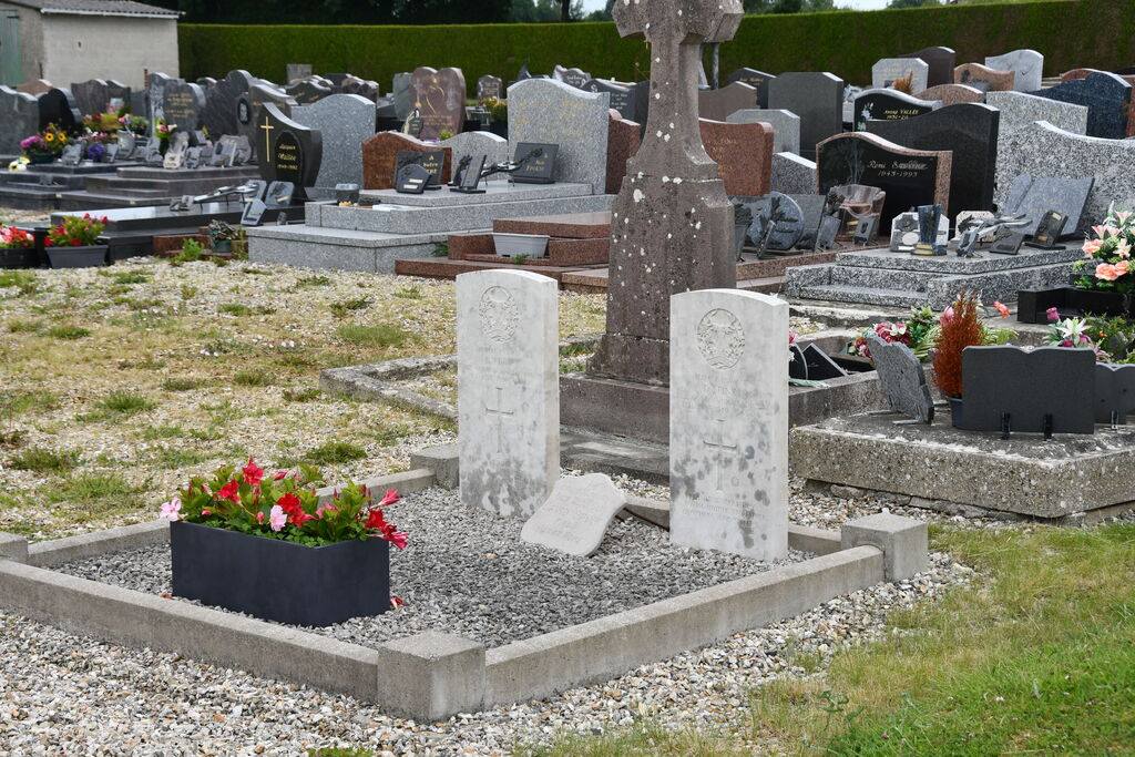
Realcamp is a village and commune some 25 miles 40 Kilometres) east-south-east of Dieppe, 5.50 miles (9 kilometres) south of Blangy-sur-Bresle (which is the junction of the N.28, Kouen to Abbeville, and the N.l s bis, Le Treport to Paris, roads) and 2.50 miles (4 kilometres) east of Foucarmont which is on the N.28 road. The nearest railway station is 7 miles (11 kilometres) away at Blangy-sur-Bresle, on the Le Treport-Paris line but the bus service from Blangy-sur-Bresle to Neufchatel-en-Bray passes through Realcamp. The cemetery is south of the village, and some yards south of the church on the D.7 road. The 2 British graves are near the eastern boundary.


