Nolleval Communal Cemetery
- Country France
- Total identified casualties 3 Find these casualties
- Region Seine-Maritime
- Identified casualties from Second World War
- GPS Coordinates Latitude: 49.49142, Longitude: 1.48576
Location information
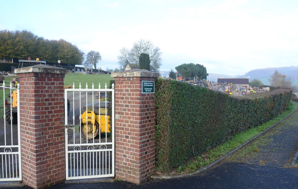
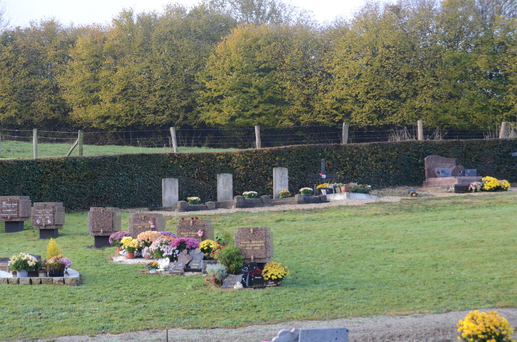
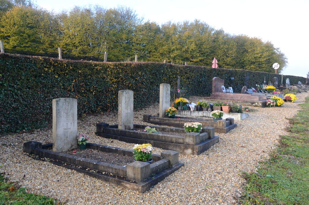
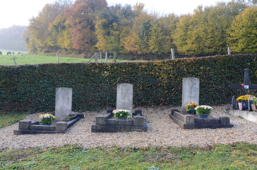
Nolleval is a village and commune 17.50 miles (28 kilometres) east-north-east of Rouen, and 3 miles (5 kilometres) north-west of La Feuillie, a village 21 miles (33 kilometres) east of Rouen on the N.30 road from Rouen to Gournay-en-Bray. Buses on the Rouen to Forges-les-Eaux route pass through the village. The cemetery is on the south-east side of the village on the road to La Feuillie (N.321), and is 500 yards from the church. Near the southern boundary hedge in the cemetery are the graves of one officer and two men of the British army.