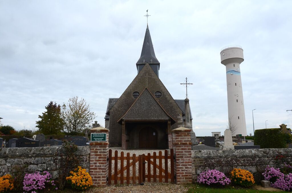
Morgny-La-Pommeraye Churchyard
- Country France
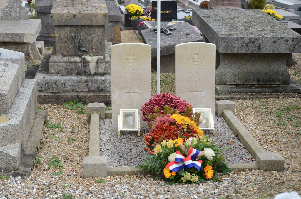
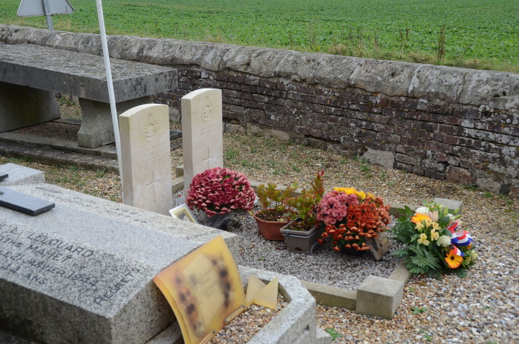
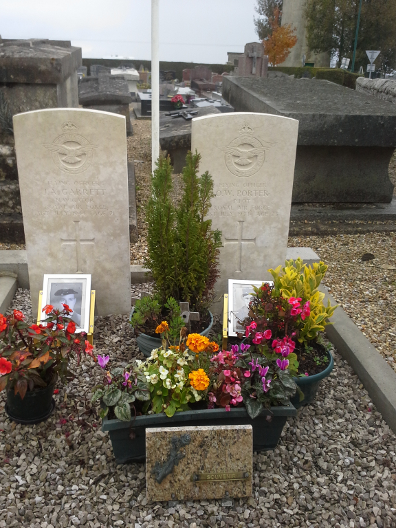
- Total identified casualties 2 Find these casualties
- Region Seine-Maritime
- Identified casualties from Second World War
- GPS Coordinates Latitude: 49.50883, Longitude: 1.25771
Location information
Morgny-la-Pommeraye is a village and commune approximately 14 kilometres north-east of Rouen, south of the motorway (A28/E402) to St Saens, on the D12. The Churchyard is in the Morgny part of Morgny-la-Pommeraye. The two 1939-1945 war graves are located near the church porch.