Le Hanouard Communal Cemetery
- Country France
- Total identified casualties 1 Find these casualties
- Region Seine-Maritime
- Identified casualties from Second World War
- GPS Coordinates Latitude: 49.72732, Longitude: 0.6548
Location information
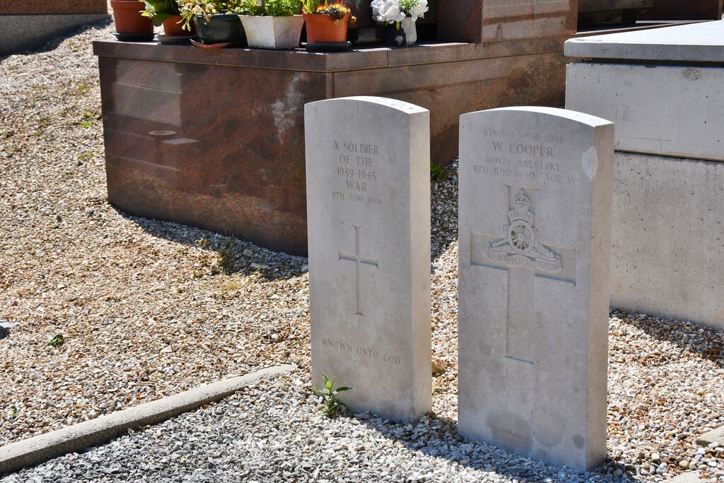
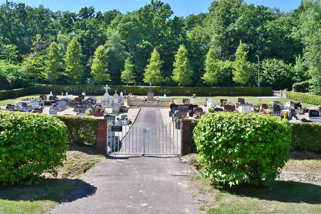
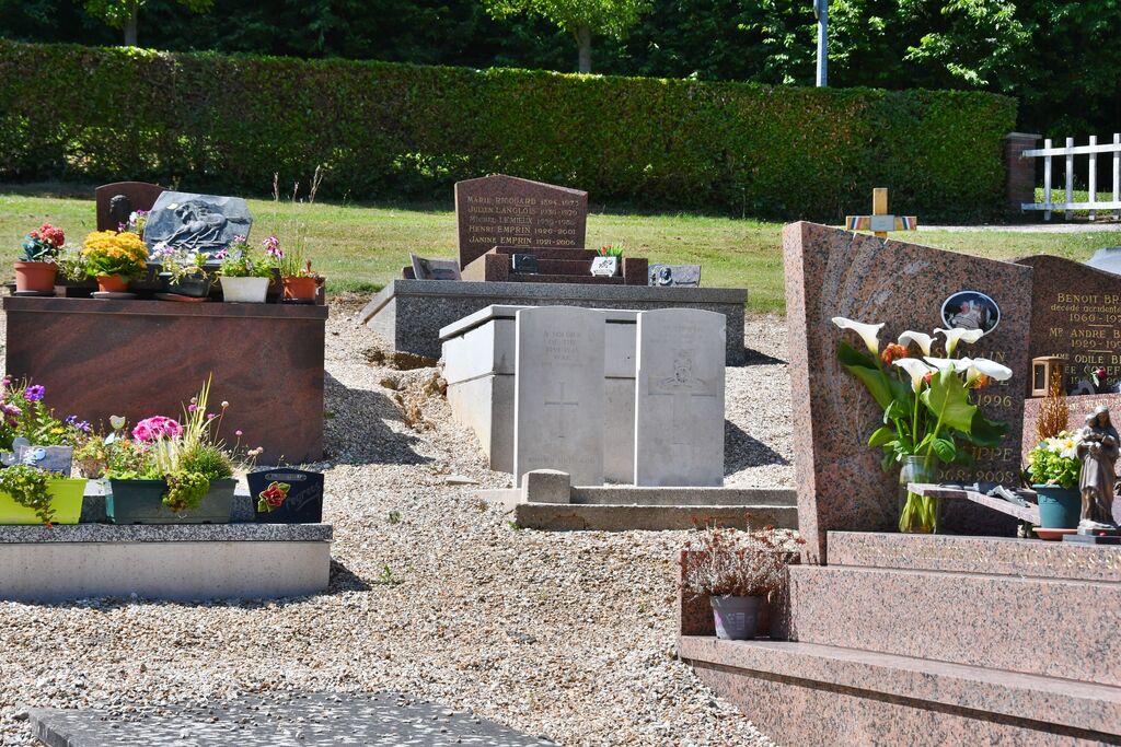
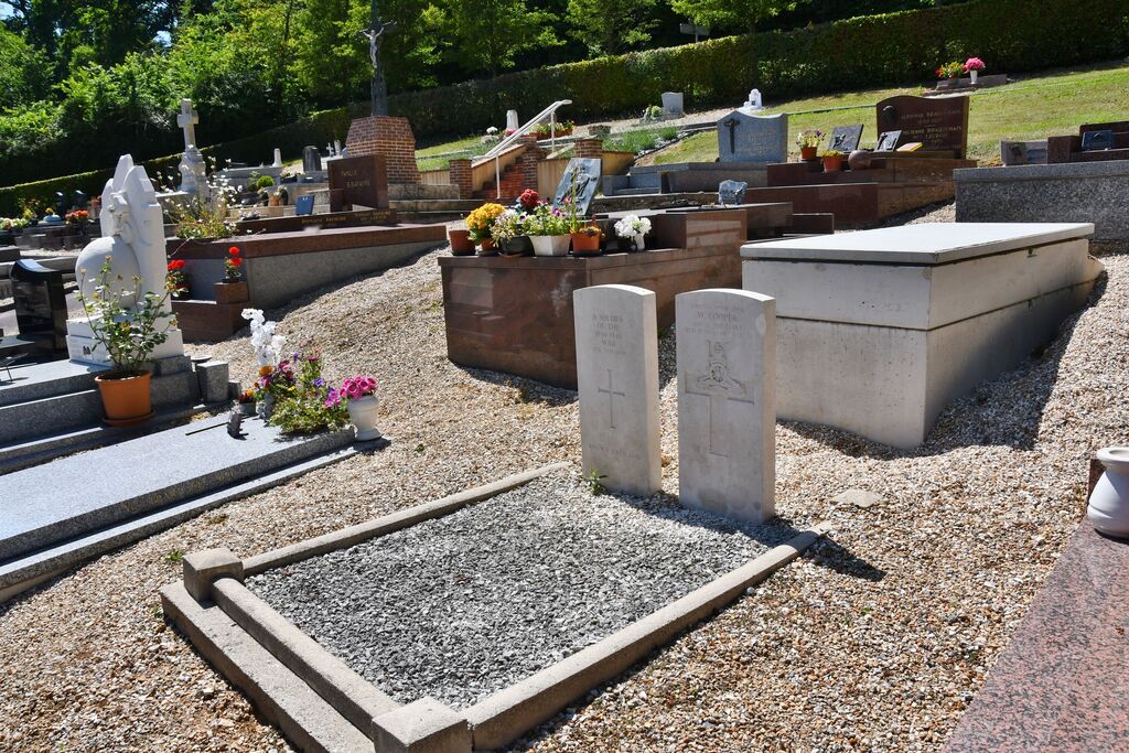
Le Hanouard is a village and commune some 22 miles (36 kilometres) south-west of Dieppe, and 6 miles (10 kilometres) south of Cany-Barville on the D.131 road from Cany-Barville to Yvetot. Buses run through the village from Cany-Barville and Yvetot. The communal cemetery is situated on the right of the D.109 road from Le Hanouard to Fauville some 500 yards from the Mairie. Near the centre of the eastern plot are the graves of 2 British soldiers, one of whom is not identified.


