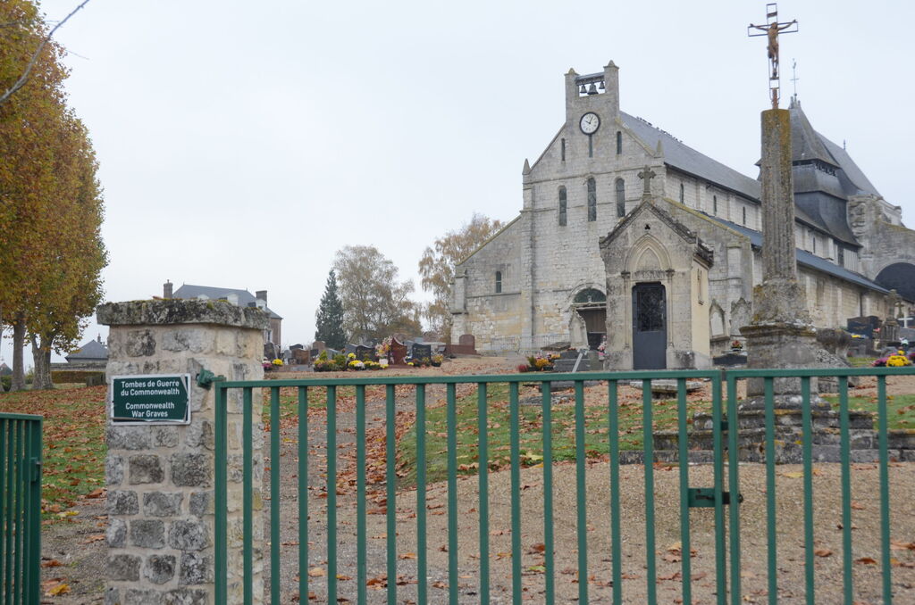
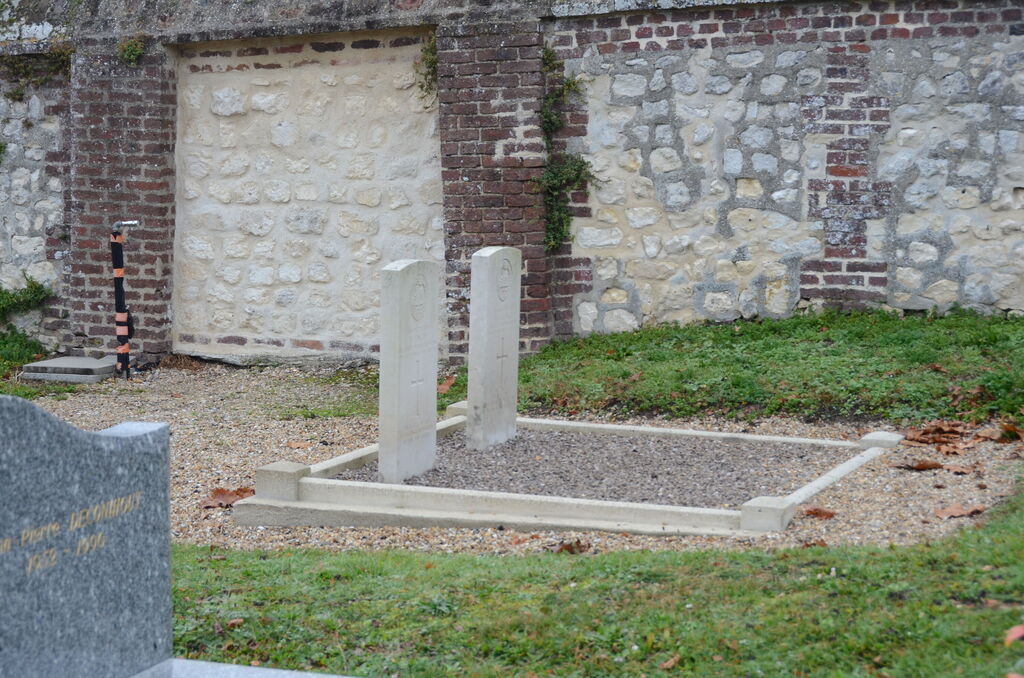
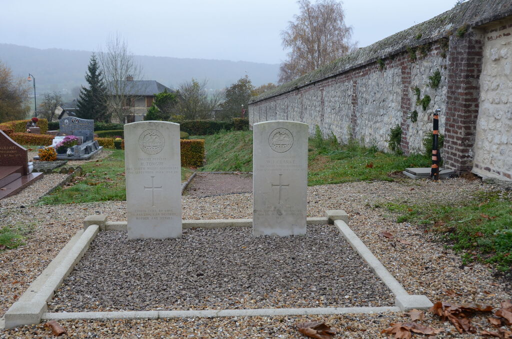
Jumieges Churchyard
- Country France
- Total identified casualties 2 Find these casualties
- Region Seine-Maritime
- Identified casualties from Second World War
- GPS Coordinates Latitude: 49.43426, Longitude: 0.82075
Location information
Jumieges is a village and commune in a southern loop of the River Seine, some 12 miles (20 kilometres) west of Rouen. The Rouen-Caudebec bus service passes at Yainville, a village some 2 miles (3 kilometres) to the north of Jumieges. In the village of Jumieges are the ruins of a 15th century abbey. The 2 British graves are near the northern boundary of the churchyard.