Guerville Communal Cemetery
- Country France
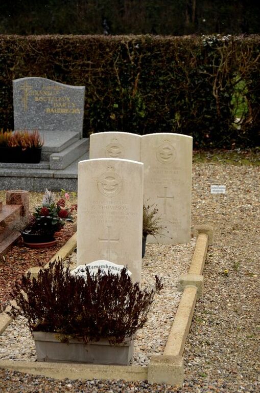
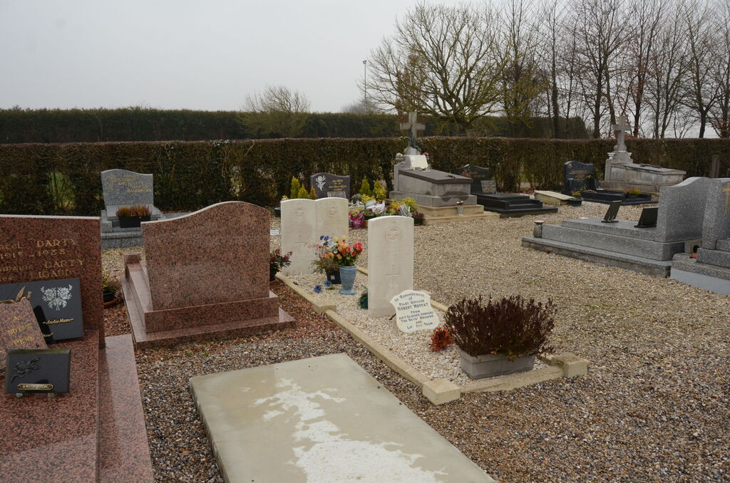
- Total identified casualties 3 Find these casualties
- Region Seine-Maritime
- Identified casualties from Second World War
- GPS Coordinates Latitude: 49.95473, Longitude: 1.51382
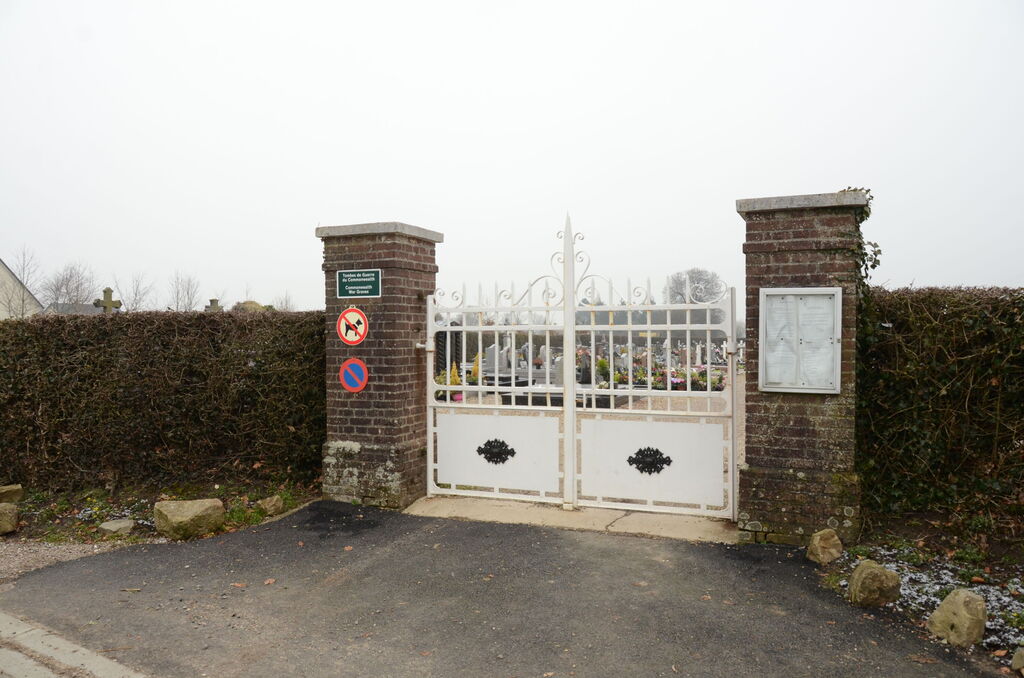
Location information
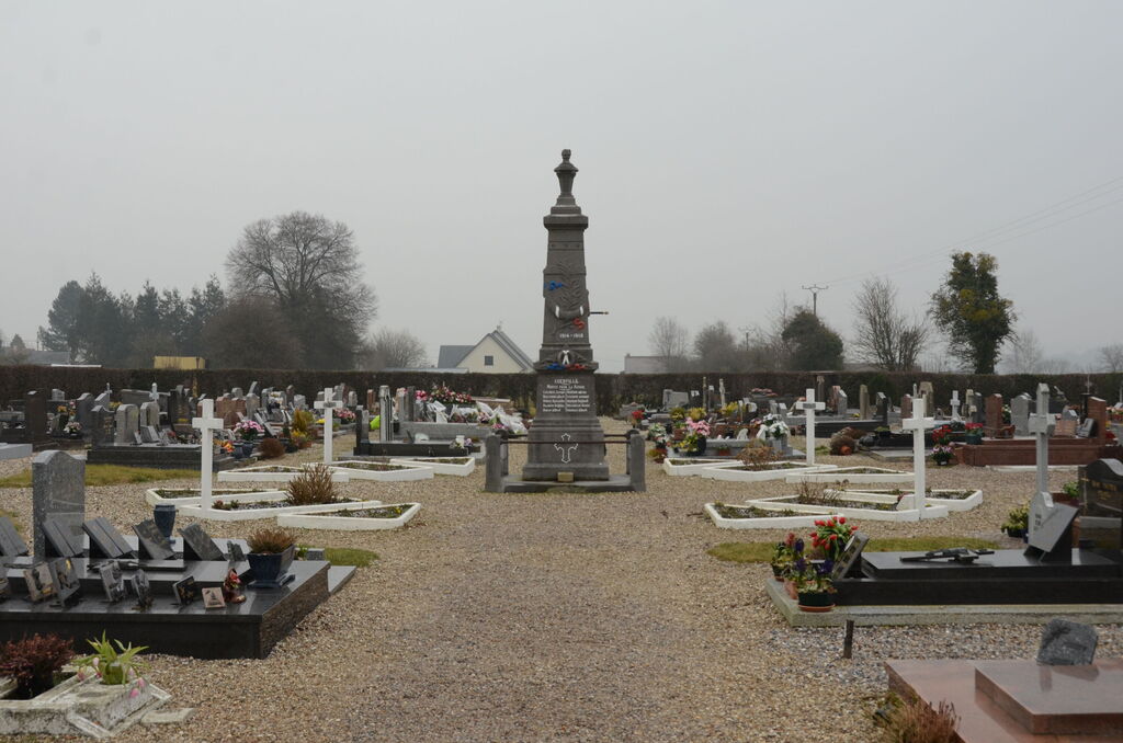
Guerville is a village and commune 19.50 miles (31 kilometres) east of Dieppe on the D.14 Gamaches to Grandcourt road, and 2.50 miles (4 kilometres) south-west of Gamaches. The nearest railway station is at Gamaches, on the Le Treport-Paris line. The communal cemetery is on the left of a road running south from Guerville church to the Forest of Eu, and is some 600 yards from the church. Just south of the War Memorial in the centre of the cemetery are the graves of three airmen of the Royal Air Force.