Grigneuseville Churchyard
- Country France
- Total identified casualties 1 Find these casualties
- Region Seine-Maritime
- Identified casualties from Second World War
- GPS Coordinates Latitude: 49.65351, Longitude: 1.18953
Location information
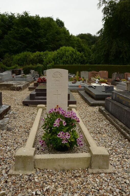
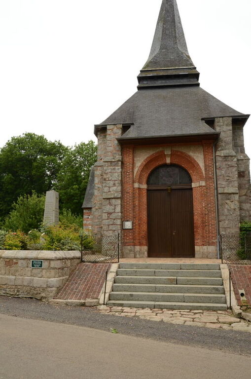
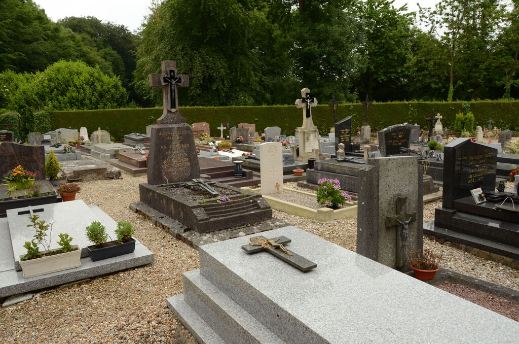
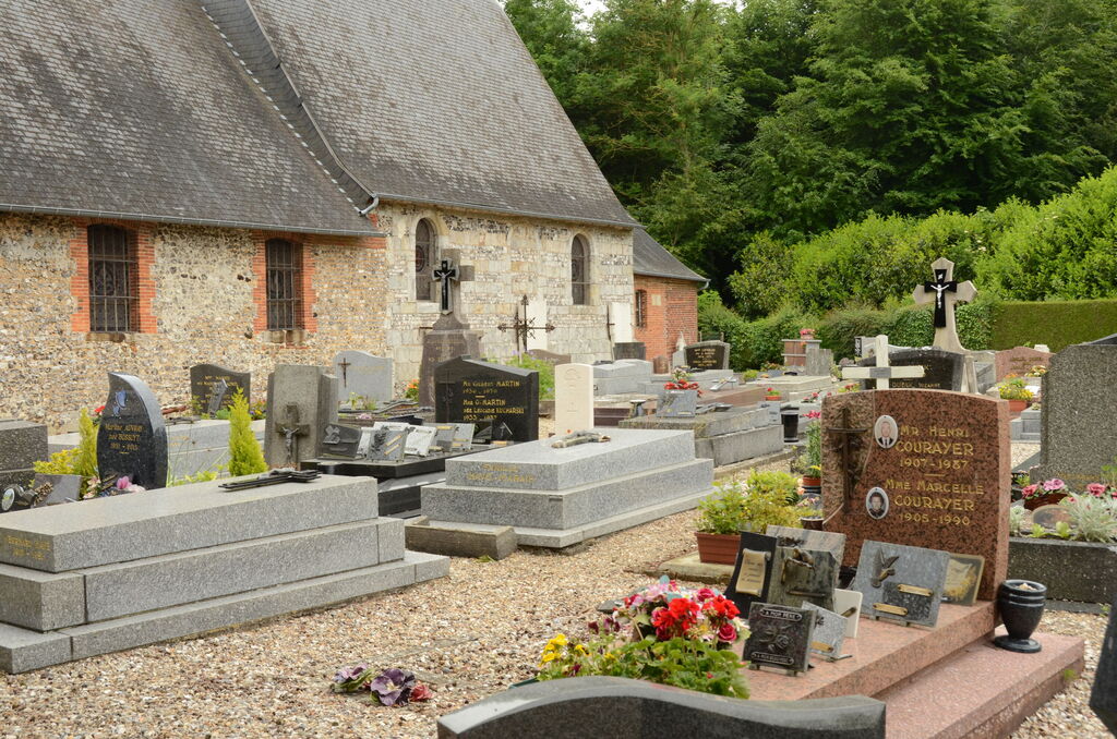
Grigneuseville is a village and commune 17 miles (27 kilometres) north-north-east of Rouen. The nearest small towns are Totes and St. Saens, both on the N.29 (Le Havre-Amiens) road. Grigneuseville is roughly midway between them, about 14 miles (2 kilometres) south of the N.29 road. The nearest railway station is at Bosc-le-Hard, 2.50 miles south of Grigneuseville. In the churchyard, near the south-west corner, is the grave of a British soldier.