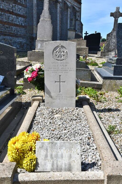
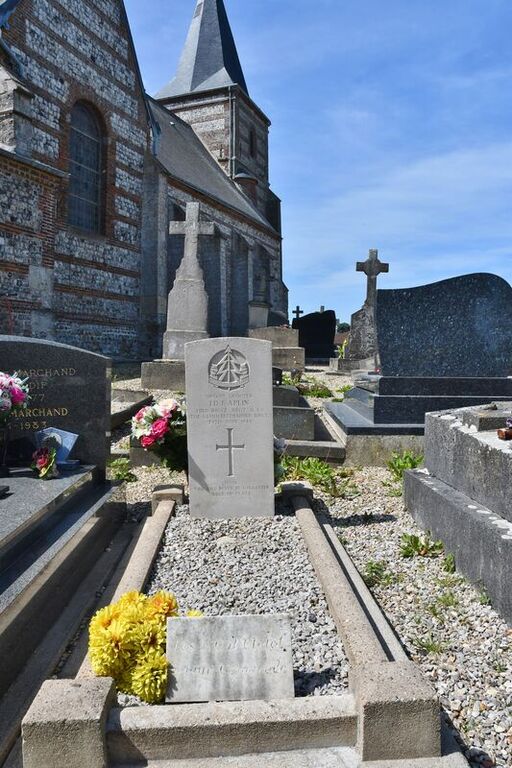
Eletot Churchyard
- Country France
- Total identified casualties 1 Find these casualties
- Region Seine-Maritime
- Identified casualties from Second World War
- GPS Coordinates Latitude: 49.78863, Longitude: 0.45166
Location information
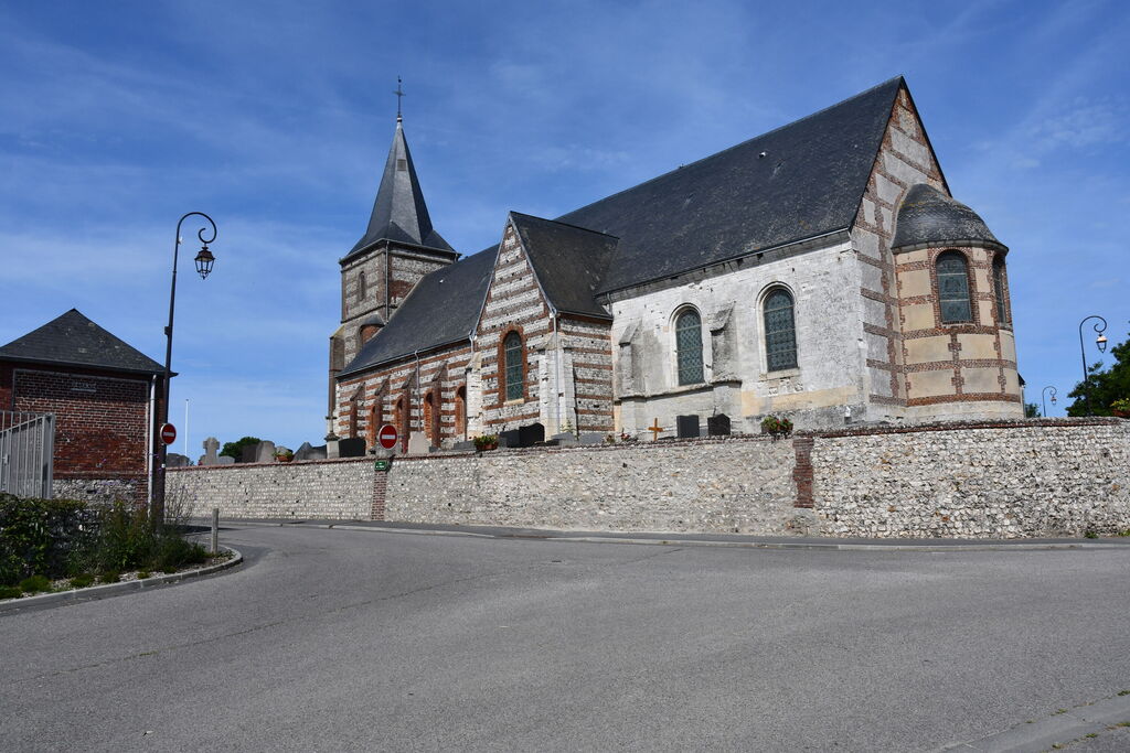
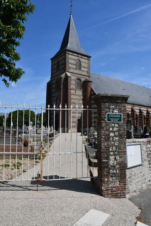
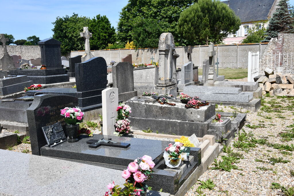
Eletot is a coastal village in the commune of the same name 28 miles (45 kilometres) west of Dieppe, and 5.50 miles (9 kilometres) north-east of Fecamp on the coast road from St. Valery-en-Caux to Fecamp. There is a bus service from Fecamp In the churchyard, just north of the north-east corner of the church, is the grave of a British soldier.