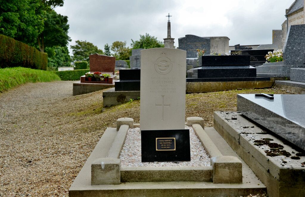
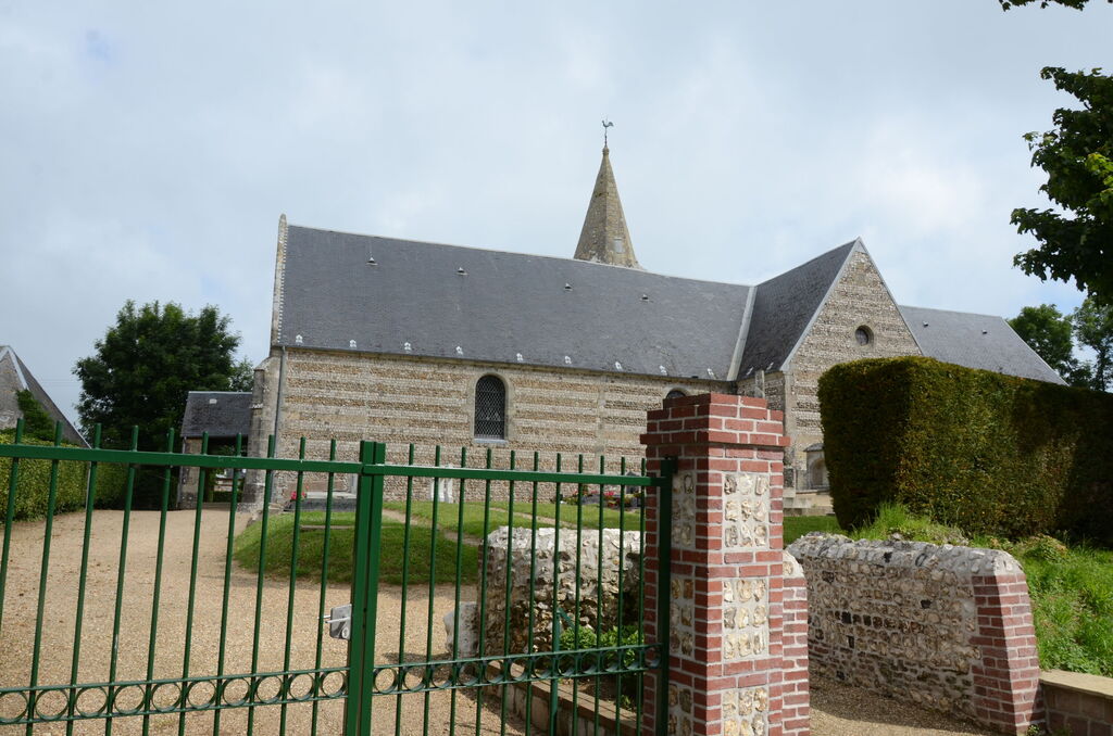
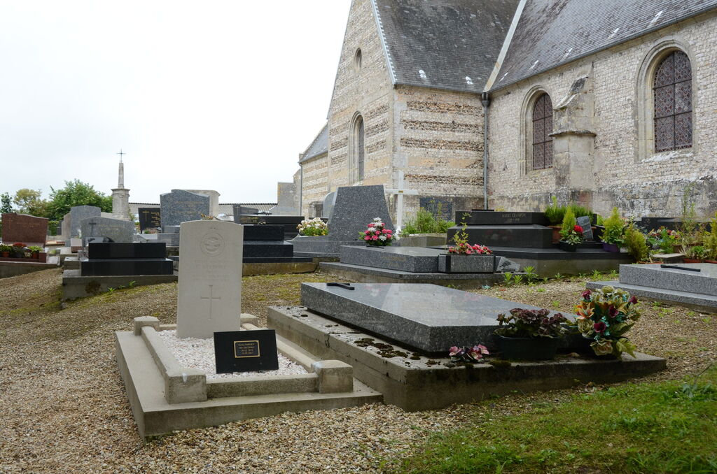
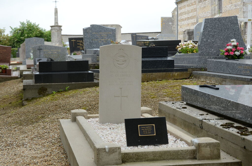
Criquebeuf-En-Caux Churchyard
- Country France
- Total identified casualties 1 Find these casualties
- Region Seine-Maritime
- Identified casualties from Second World War
- GPS Coordinates Latitude: 49.7396, Longitude: 0.33114
Location information
Criquebeuf-en-Caux is a village and commune near the coast, some 40 kilometres north-east of Le Havre, 24 kilometres south-west of Fecamp, and 1 kilometre north of St. Leonard, which is on the Fecamp-Etretat road (N.40). The British grave is in the south-east corner of the churchyard.