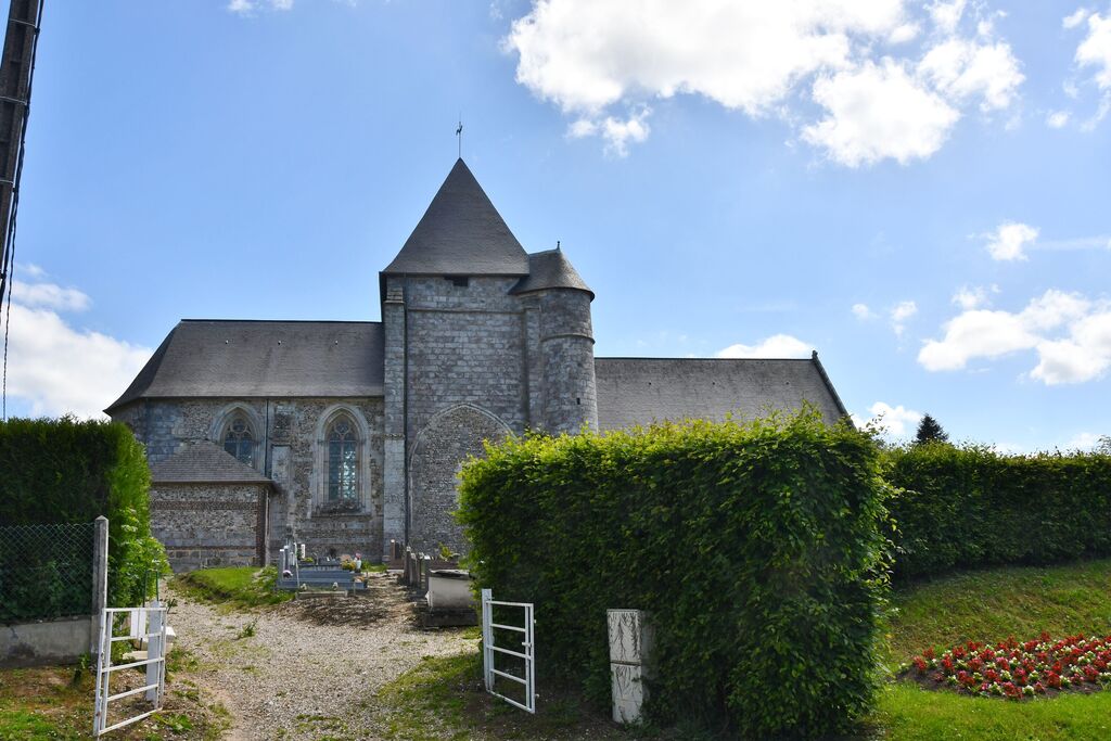
Boudeville Churchyard
- Country France
- Total identified casualties 1 Find these casualties
- Region Seine-Maritime
- Identified casualties from Second World War
- GPS Coordinates Latitude: 49.72592, Longitude: 0.87876
Location information
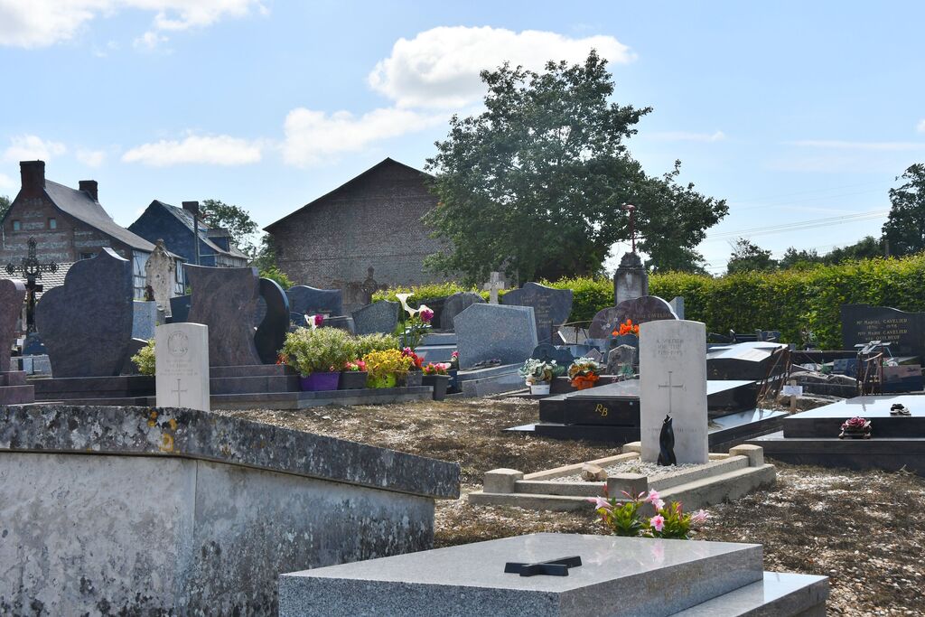
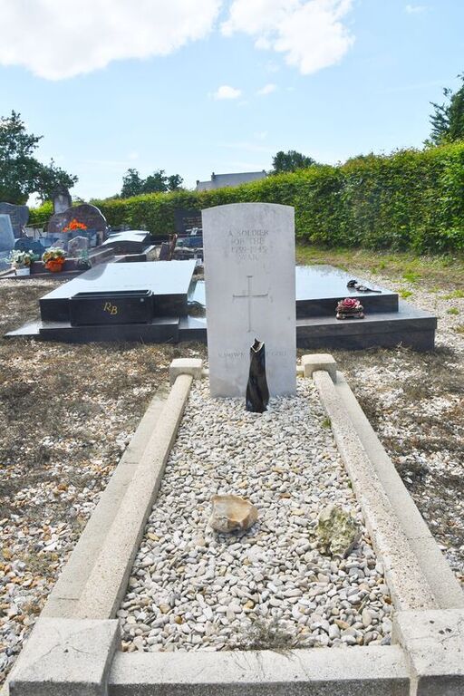
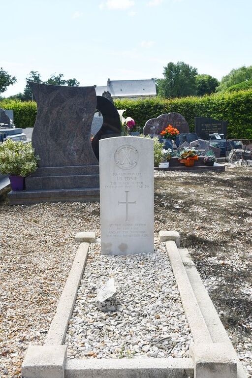
Boudeville is a village and commune 16 miles (26 kilometres) south-west of Dieppe, and 4 miles (6 kilometres) north of Yerville, a small town on the N.315 road from Rouen to the seaside village and commune of Veules-les-Roses. The village of Boudeville is just west of this main road, and there is a bus service from Rouen. In the churchyard, north of the church tower, are the graves of two British soldiers, one of whom is not identified.


