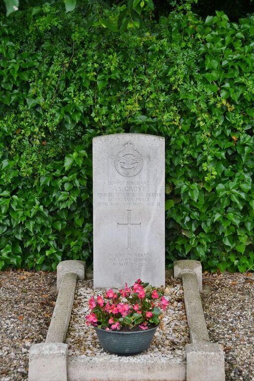
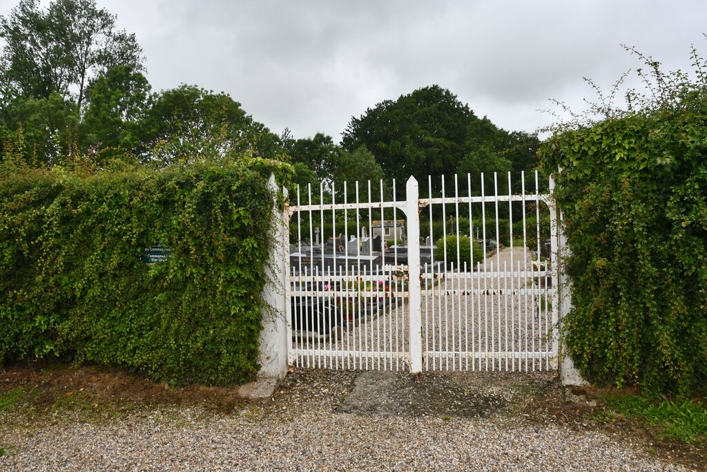
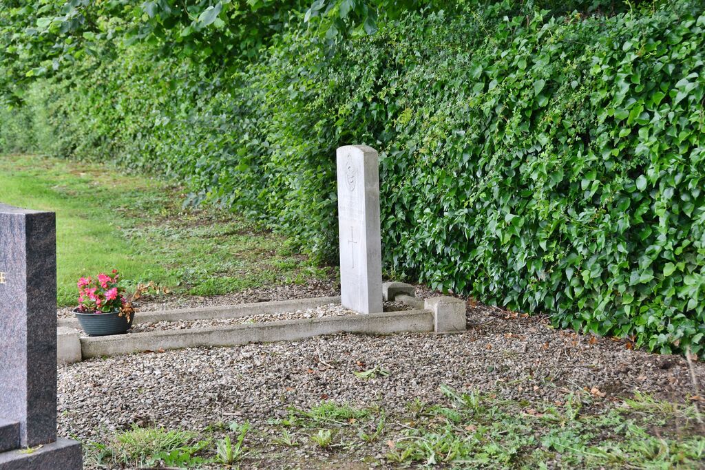
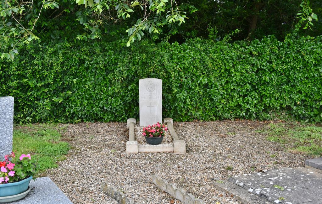
Baromesnil Communal Cemetery
- Country France
- Total identified casualties 1 Find these casualties
- Region Seine-Maritime
- Identified casualties from Second World War
- GPS Coordinates Latitude: 49.98455, Longitude: 1.42014
Location information
Baromesnil is a village and commune some 15.50 miles (25 kilometres) from Dieppe, and 5.50 miles (9 kilometres) south of Eu, on the west side of the Eu-Londonieres road (N.34). The nearest railway station is at Eu, on the Le Treport-Paris line. The communal cemetery is some 500 yards north-east of the church, on the left of a small road which leaves the main road through the village (D.78) at the church. The British grave is in the north-west corner from the entrance.