Argueil Communal Cemetery
- Country France
- Total identified casualties 1 Find these casualties
- Region Seine-Maritime
- Identified casualties from Second World War
- GPS Coordinates Latitude: 49.53887, Longitude: 1.51766
Location information
Argueil is a village and commune 33 kilometres east-north-east of Rouen, and 10 kilometres north of La Feuillie, a village on the Rouen to Gournay-en-Bray road (N.30).
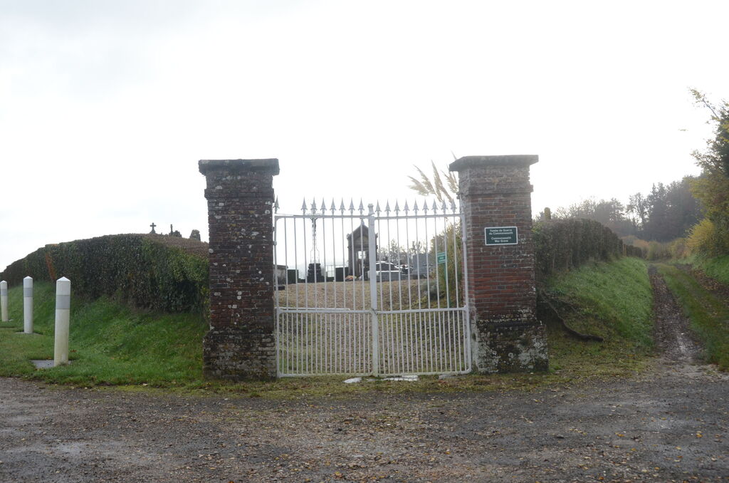
History information
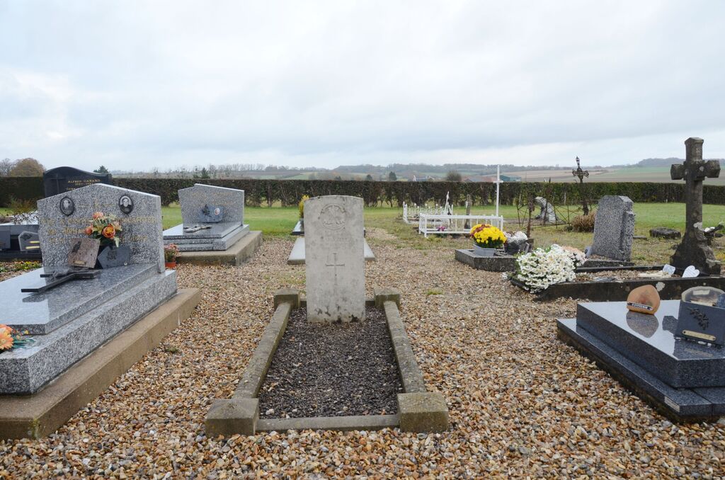
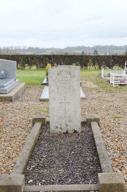
The cemetery is south-east of the village, on the south side of the N.321 road to Rolleval, and is about 400 yards from Argueil Church. East of the crucifix in the central path is the grave of a British soldier.