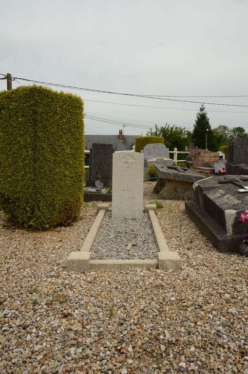
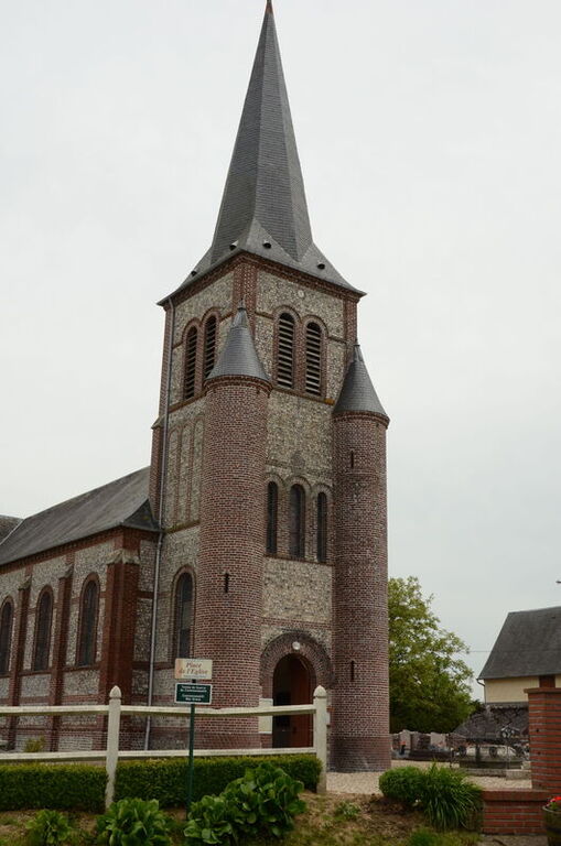
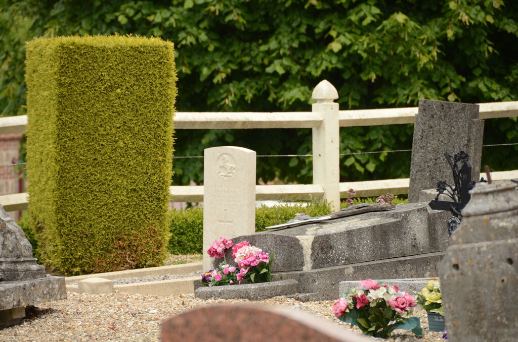
Ancretieville-St. Victor Churchyard
- Country France
- Total identified casualties 1 Find these casualties
- Region Seine-Maritime
- Identified casualties from Second World War
- GPS Coordinates Latitude: 49.65815, Longitude: 0.98206
Location information
Ancretieville-St. Victor is a village 26 Kms north-north-west of Rouen, and 6 Kms south-west of Totes, a small town at the junction of the Rouen-Dieppe (N.27) and Le Havre-Amiens (N.29) roads.
Visiting information
The British grave is near the northern boundary of the churchyard.