Amfreville-La-Mi-Voie Communal Cemetery
- Country France
- Total identified casualties 1 Find these casualties
- Region Seine-Maritime
- Identified casualties from Second World War
- GPS Coordinates Latitude: 49.39909, Longitude: 1.12877
Location information
Amfreville-la-mi-Voie is a small town on the right bank of the River Seine. It is 3 miles (5 Kilometres) south-east of Rouen, on the Rouen-Vernon-Paris road (N.13B).
Visiting information
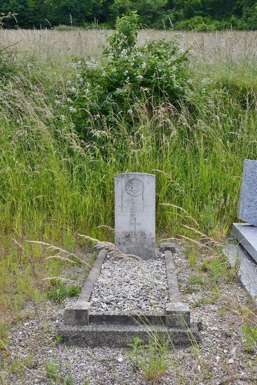
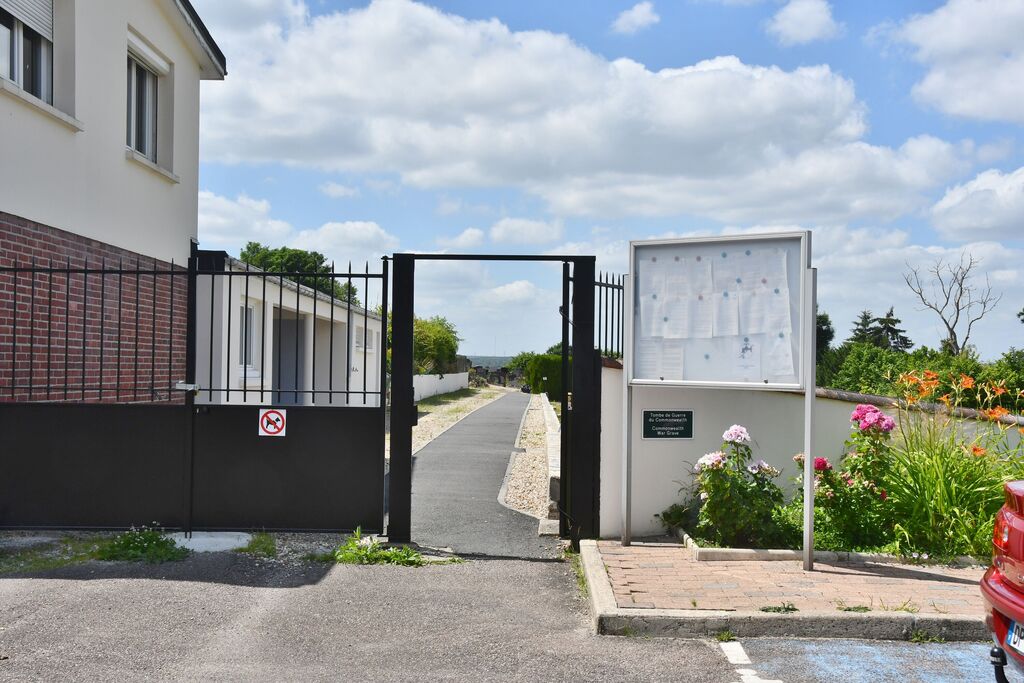
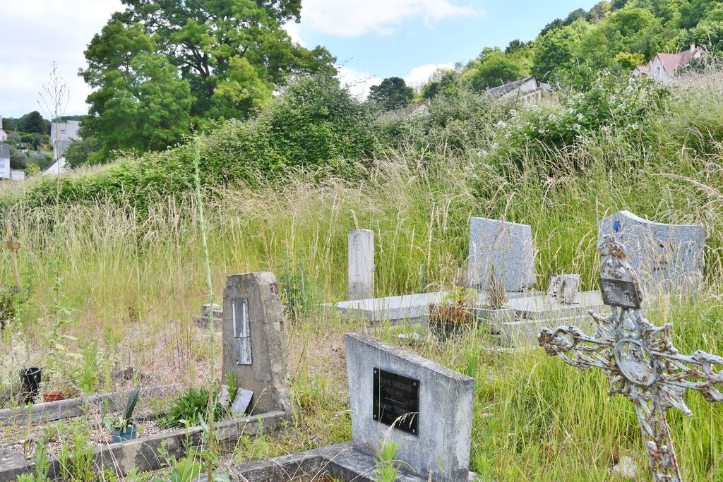
The communal cemetery is about 1,000 yards south of the Mairie and the church, on a steep slope east of the main road. It is reached through the Route de Mesnil Esnard and the Rue Robert Turquier. In the eastern corner of the cemetery, some 30 yards from the War Memorial is the grave of a British soldier.


