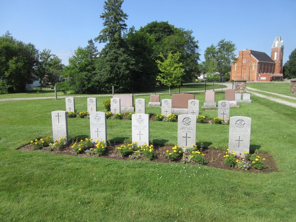
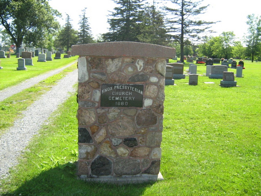
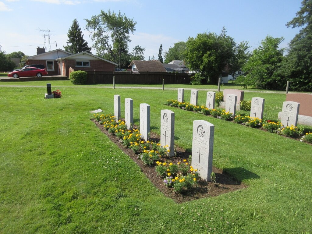
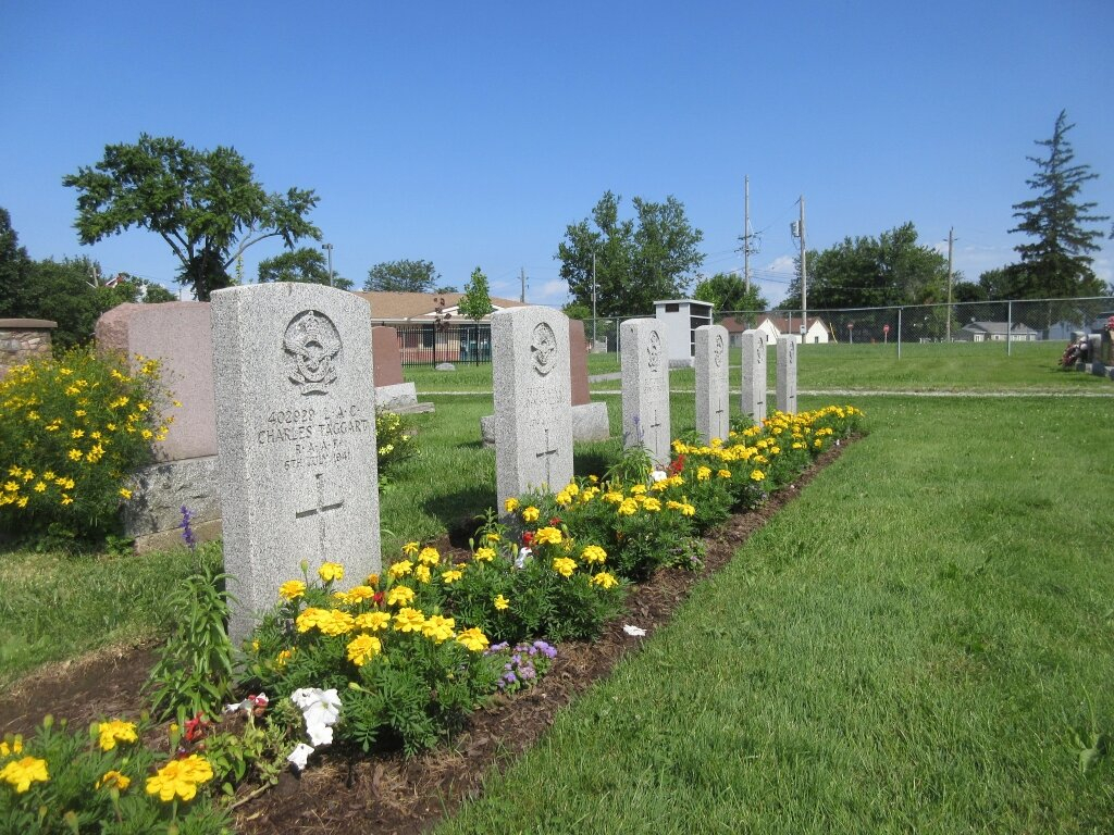
Jarvis (Knox Presbyterian Church) Cemetery
- Country Canada
- Total identified casualties 11 Find these casualties
- Region Ontario
- Identified casualties from Second World War
- GPS Coordinates Latitude: 42.88698, Longitude: -80.11136
Location information
Jarvis lies in open country about 46 kilometres south-south-west of Hamilton.
History information
During the 1939-1945 War it held No. 1 Bombing and Gunnery School. This cemetery, which is owned by the Presbyterian Church, is in the village of Jarvis, which is at the junction of Highways No. 6 and 3, and is situated one block east on No. 3, then two blocks north. It contains the graves of 11 airmen.