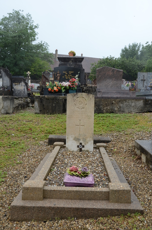
Mouchard Communal Cemetery
- Country France
- Total identified casualties 1 Find these casualties
- Region Jura
- Identified casualties from Second World War
- GPS Coordinates Latitude: 46.9784, Longitude: 5.79363
Location information
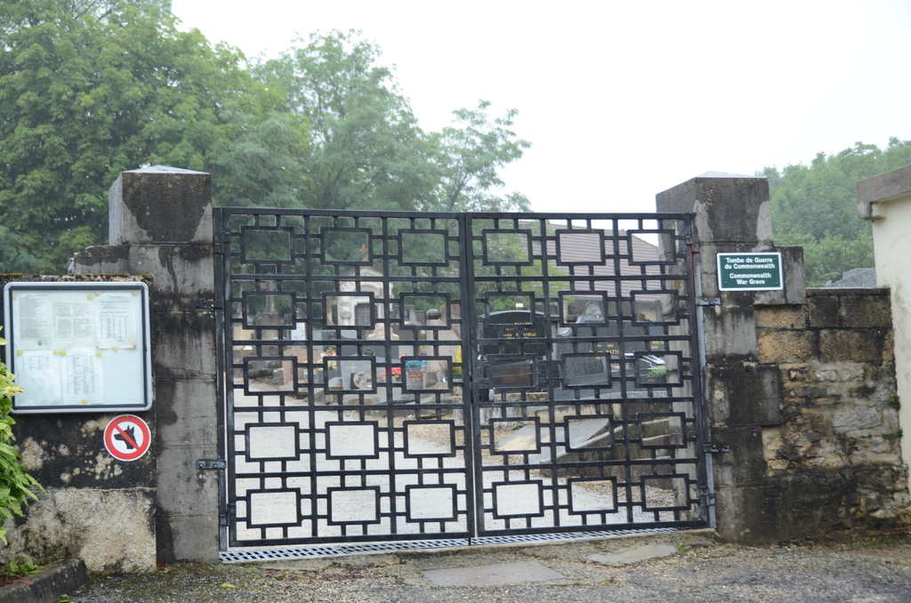
Mouchard is a village and commune in the department of the Jura some 38 kilometres north-east of Lons-le-Saunier, the chief town of the department. The cemetery is on the west side of the village south of the road to Villers-Farlay at the end of a track immediately opposite the road from Lesney. The grave of one British soldier is right of the main entrance near the wall.