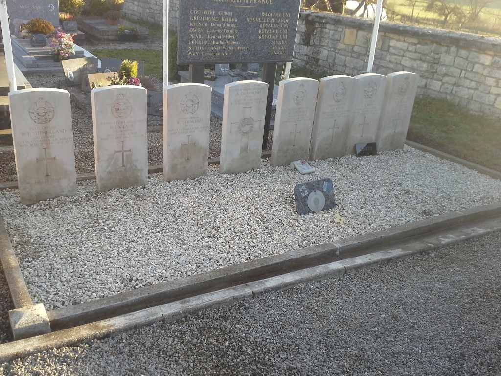
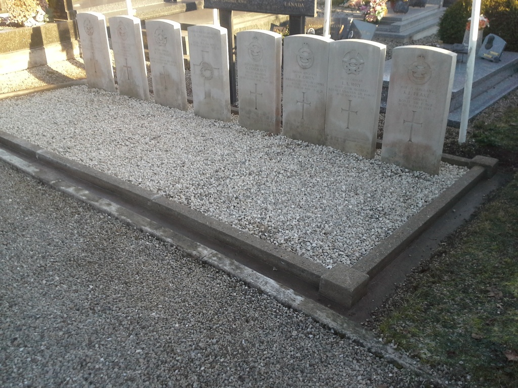
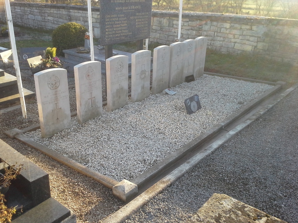
Villars-Le-Pautel Communal Cemetery
- Country France
- Total identified casualties 8 Find these casualties
- Region Haute-Saone
- Identified casualties from Second World War
- GPS Coordinates Latitude: 47.8928, Longitude: 5.9351
Location information
Villars-le-Pautel is a village and commune 34 kilometres north-north-west of Vesoul, and 8 kilometres north of Jussey. The cemetery lies on the south-west side of the village, on the road leading to Jussey-Corre. Near the west wall are the graves of the Commonwealth airmen.