Ussy Churchyard
- Country France
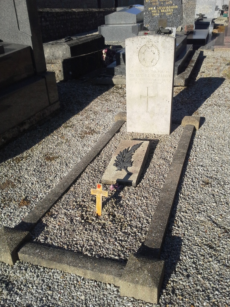
- Total identified casualties 1 Find these casualties
- Region Calvados
- Identified casualties from Second World War
- GPS Coordinates Latitude: 48.94988, Longitude: -0.28025


Location information
Ussy is a village and commune 26 kilometres south-south-east of Caen, 43 kilometres south-west of Lisieux, and 4 kilometres south-west of Potigny. This is a village on the Caen-Falaise road, 24 kilometres from Caen. There is 1 Commonwealth burial of the 1939-1945 war here, 10 yards south-west of the church tower.