St. Loup-De-Fribois Churchyard
- Country France
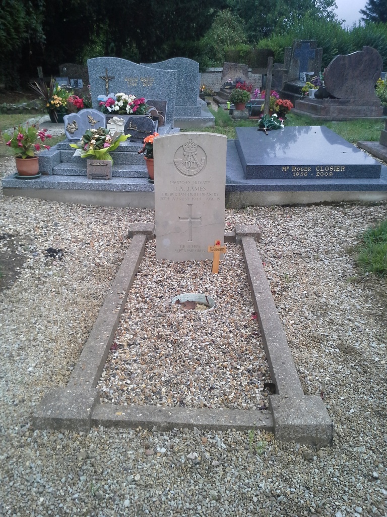
- Total identified casualties 1 Find these casualties
- Region Calvados
- Identified casualties from Second World War
- GPS Coordinates Latitude: 49.11477, Longitude: 0.01161
Location information
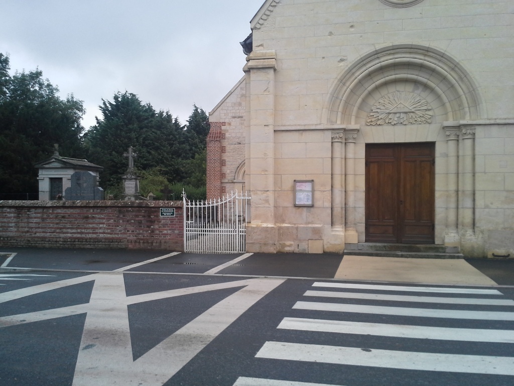
St. Loup-de-Fribois is a village and commune 17 kilometres west of Lisieux, and 27 Kilometres south-east of Caen. It is only half a mile from Crevecoeur-en-Auge (a village on the N13 main road from Lisieux to Caen). The church is on the D16 road from Crevecoeur-en-Auge to St. Pierre-sur-Dives. There is 1 Commonwealth burial of the 1939-1945 war here, in the north corner of the churchyard.