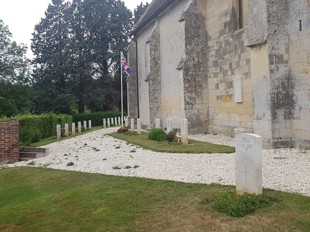
Putot-En-Auge Churchyard
- Country France
- Total identified casualties 32 Find these casualties
- Region Calvados
- Identified casualties from Second World War
- GPS Coordinates Latitude: 49.21661, Longitude: -0.06861


Location information
Putot-en-Auge is a village 22 kilometres east-north-east of Caen and the same distance north-west of Lisieux. Take the Caen-Pont l'Eveque-Rouen road (RN175) and turn right at Putot-en-Auge. The cemetery stands by the church at the end of the village. There are 32 Commonwealth burials of the 1939-1945 war in the churchyard.