Le Mesnil-Durand Communal Cemetery
- Country France
- Total identified casualties 1 Find these casualties
- Region Calvados
- Identified casualties from Second World War
- GPS Coordinates Latitude: 49.04153, Longitude: 0.14426
Location information
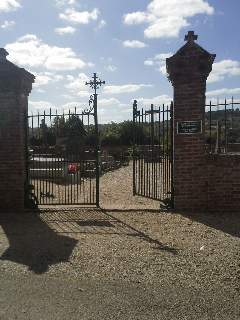
Le Mesnil-Durand is a village and commune 9 miles (14 Kilometres) south-west of Lisieux, and 3 miles (5 kilometres) north of Livarot. This is a small town 11 miles (18 kilometres) south of Lisieux on the N.179 road from Lisieux and Alencon. The village is just over 1 kilometre west of road N.179, and is on the D.47 road to Mezidon. The cemetery is south of the village, and is 500 yards from the church. There is 1 Commonwealth burial of the 1939-1945 war here, 12 yards south-east of the crucifix in the centre of the cemetery.