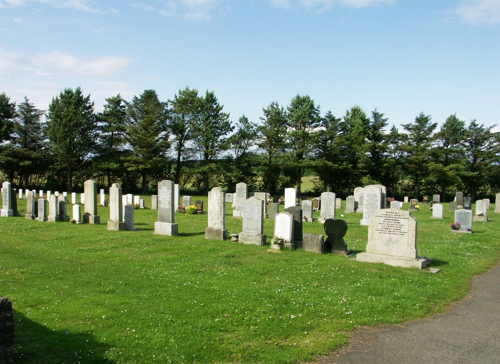
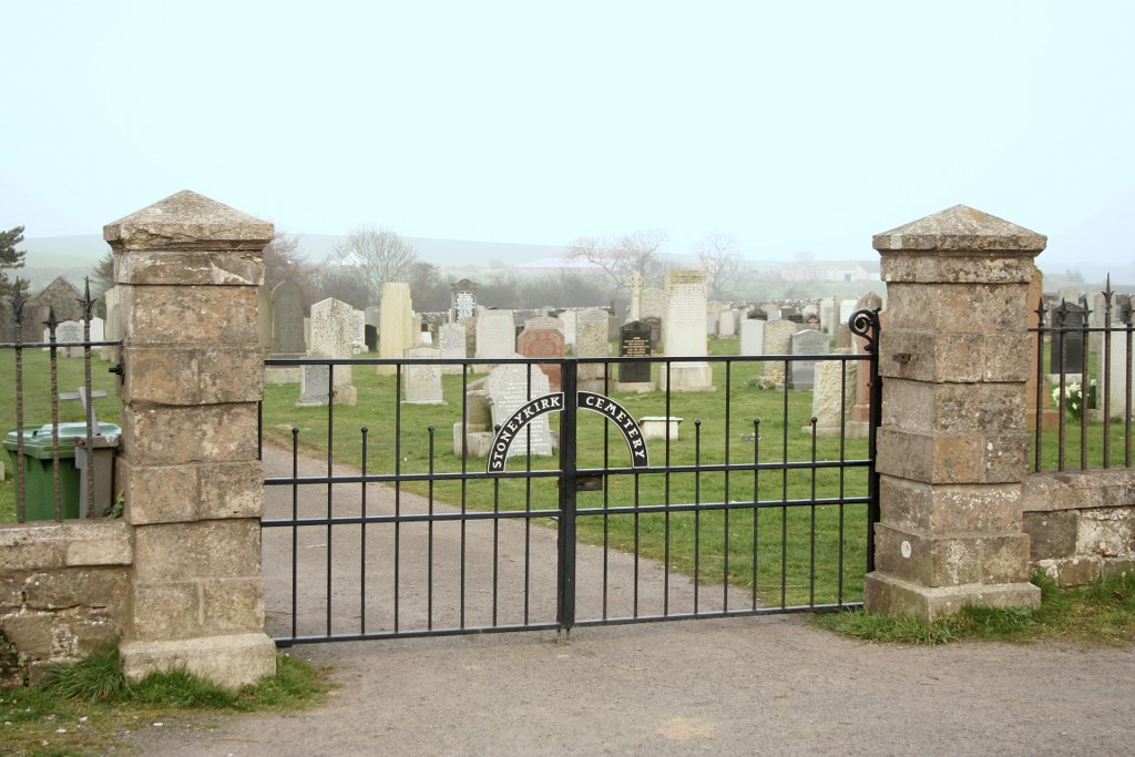
Stoneykirk Cemetery
- Country United Kingdom
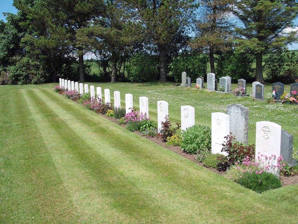
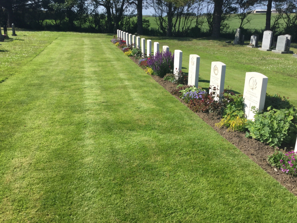
- Total identified casualties 17 Find these casualties
- Region Wigtownshire
- Identified casualties from Second World War
- GPS Coordinates Latitude: 54.83771, Longitude: -4.98283
Location information
The village of Stoneykirk is some six miles south-east of Stranraer. The cemetery is to the north-west of the village on the A716. Parking is possible on the edge of the road.
History information
The cemetery was used for burials from RAF West Freugh during the Second World War. The burials comprise 1 sailor and 8 airmen of the forces of the United Kingdom; 3 men of the Royal Canadian Air Force; 5 of the Royal Australian Air Force and 1 of the Royal New Zealand Air Force, making a total of 18 war graves. One of the airmen of the RAF is not identified.