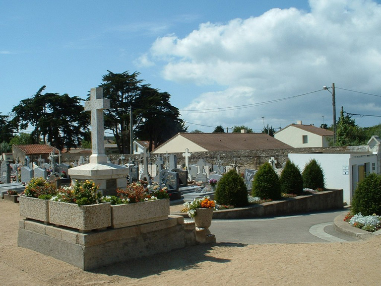
Ste. Marie Communal Cemetery
- Country France
- Total identified casualties 24 Find these casualties
- Region Loire-Atlantique
- Identified casualties from Second World War
- GPS Coordinates Latitude: 47.11522, Longitude: -2.12932
Location information
Ste. Marie is a coastal village 54 kilometres west-south-west of Nantes and 3 kilometres from Pornic. The Communal Cemetery is on the northern side of the village, behind the church. There are two rows of British war graves; the main row is near and south-east of the entrance to the cemetery, and the smaller row at the eastern end of the burial ground.
Visiting information
Wheelchair access is possible via main entrance. For further information regarding wheelchair access, please contact our Enquiries Section on emquiries@cwgc.org or 01628 507200.
History information
The majority of the servicemen buried here perished when the troopship Lancastria was sunk off St. Nazaire by enemy bombs on 17th June 1940.
There are now nearly 40, 1939-45 war casualties commemorated in this site. Of these, over 10 are unidentified.