Lusanger Communal Cemetery
- Country France
- Total identified casualties 2 Find these casualties
- Region Loire-Atlantique
- Identified casualties from Second World War
- GPS Coordinates Latitude: 47.68444, Longitude: -1.5893
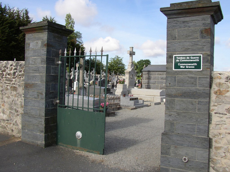
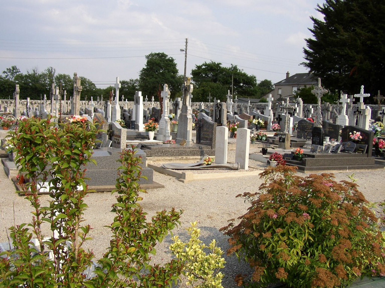
Location information
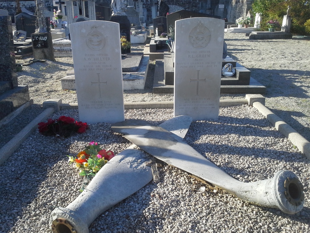
Lusanger is a rather isolated village and commune 32 miles (52 kilometres) north of Nantes and about 10 miles (17 kilometres) south-west of Chateaubriant. It lies on a secondary road from Treffieux (which is on the main Nantes-Chateaubriant road) to Sion. The most convenient centre is Nantes, which has a good train service to Chateaubriant, whence the journey is completed by taxi. The cemetery is 150 yards north of the church, on the road to Sion. West (left) of the entrance, towards the end of the main path and close to the boundary wall, is the joint grave of two airmen.