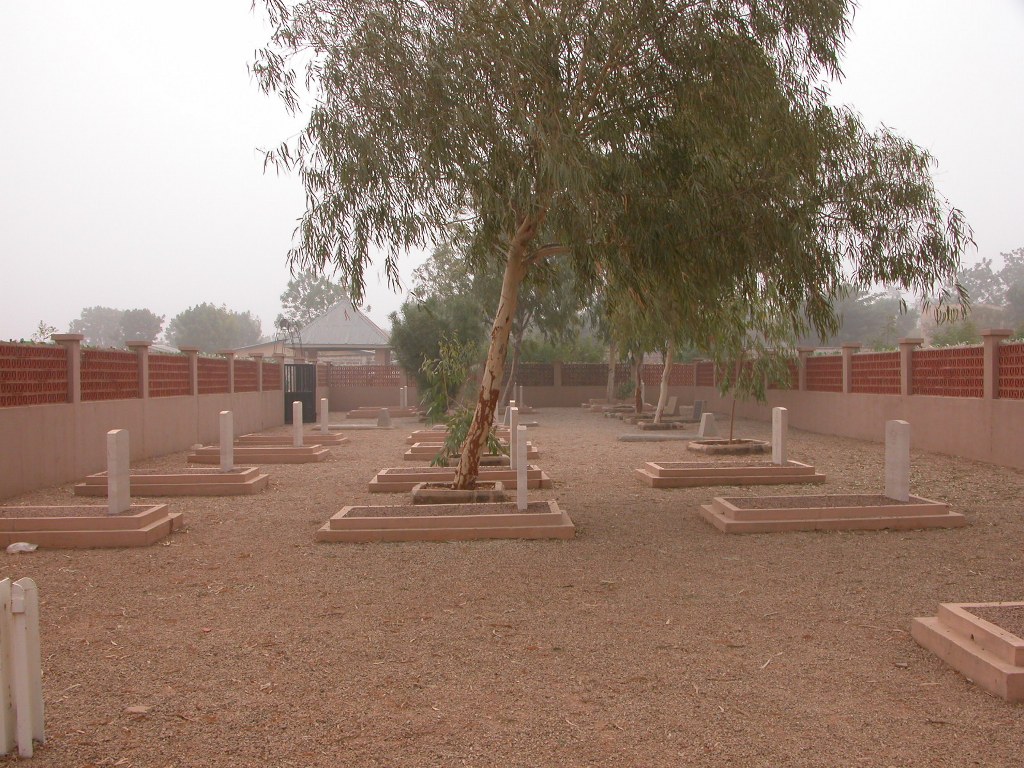
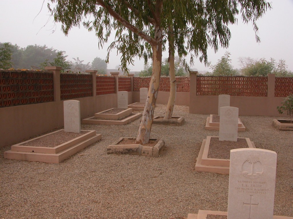
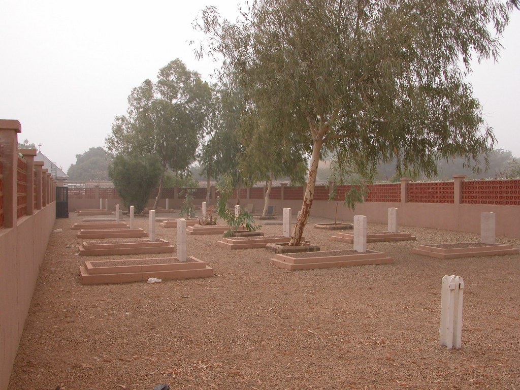
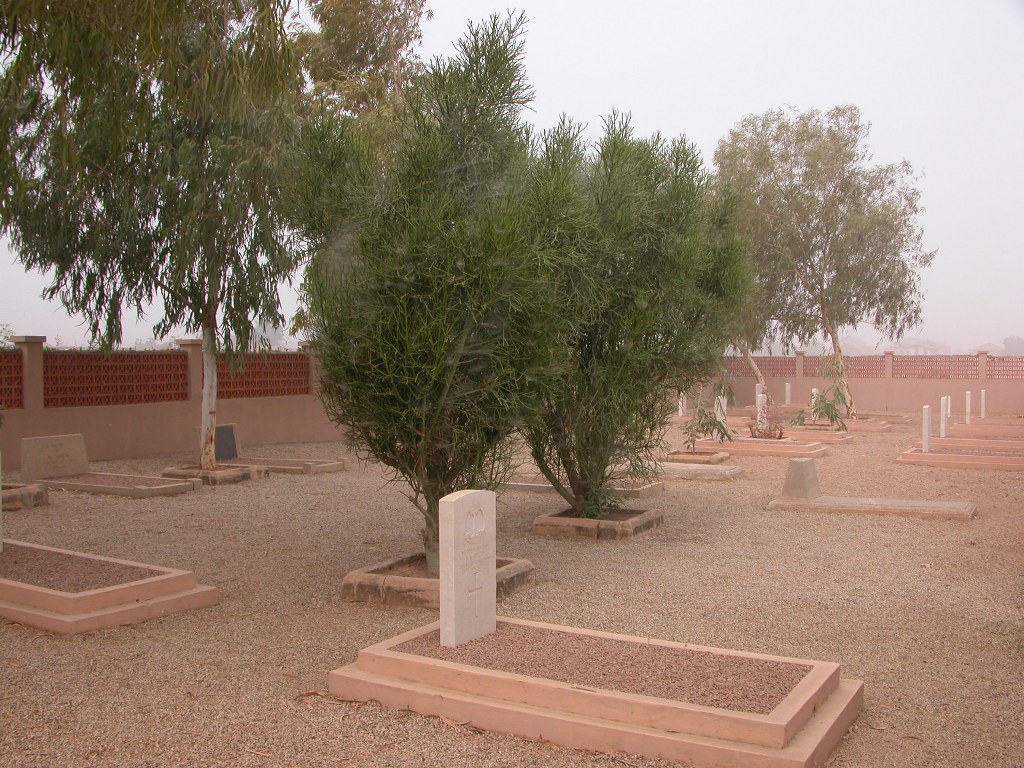
Kano Township Christian Cemetery
- Country Nigeria
- Total identified casualties 18 Find these casualties
- Identified casualties from Second World War
- GPS Coordinates Latitude: 12.01976, Longitude: 8.55392
Location information
Kano, the administrative centre of Kano Province, is about 160 kilometres from the northern border of Nigeria. The Christian Cemetery is at Tudan Wada in the Bompai district of Kano, which lies to the north of the European business quarter of the city. It is situated at the end of Old Cemetery Road, not far from the airport and behind the Kano School of Health and Technology. The war graves are in the Bompai Section on the left-hand side of the path leading from the entrance gate on the southern side.
Visiting information
Wheelchair access possible via main entrance. For further information regarding wheelchair access, please contact our enquiries department on telephone number 01628 634221.
History information
Kano was an important military area during the war and the airfield was one of a chain used by the British and Allied Air Forces on the South Atlantic air route from America to Cairo. Most of the R.A.F. casualties were from No. 21 Operational Training Unit. There are 18 Commonwealth burials of the 1939-1945 war here.