Chatelraould St. Louvent Churchyard
- Country France
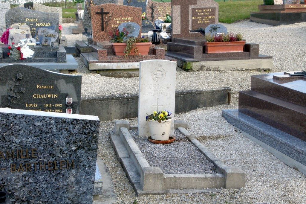
- Total identified casualties 1 Find these casualties
- Region Marne
- Identified casualties from Second World War
- GPS Coordinates Latitude: 48.67959, Longitude: 4.54786
Location information
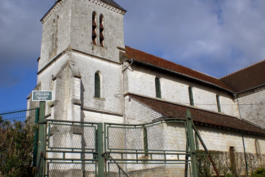
Chatelraould St Louvent is a village some 36 kilometres south-east of Chalons-sur-Marne, and 8 kilometres south of Vitry-le-Francois. The Commonwealth war grave is on the west side of the churchyard to the rear of the church.
History information
When Germany invaded France early in May 1940, the British Expeditionary Force had already been established there for some time. Between their dramatic evacuation a few weeks later and the Normandy landings of June 1944, Commonwealth forces activity in France was limited to coastal raids and special operations. Most of the Second World War Commonwealth cemeteries are situated in the coastal areas of northern France, but graves will also be found in communal cemeteries and churchyards all over the country, many being those of Commonwealth airmen who failed to return from missions over northern Europe. Chatelraould St Louvent Churchyard contains the grave of one Commonwealth airman of the Second World War.