Bayeux War Cemetery
- Country France
- Total identified casualties 4258 Find these casualties
- Region Calvados
- Identified casualties from Second World War
- GPS Coordinates Latitude: 49.27412, Longitude: -0.71399
Location information
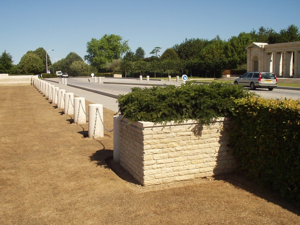
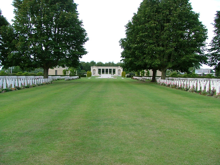
The town of Bayeux, in Normandy, lies 30 kilometres north-west of Caen. Bayeux War Cemetery is situated in the south-western outskirts of the town on the by-pass (D5), which is named Boulevard Fabian Ware. On the opposite side of the road stands the Bayeux Memorial.
Visiting information
Wheelchair access is possible via the main entrance and from an additional entrance from the street to the left of the cemetery.
History information
The Allied offensive in north-western Europe began with the Normandy landings of 6 June 1944.
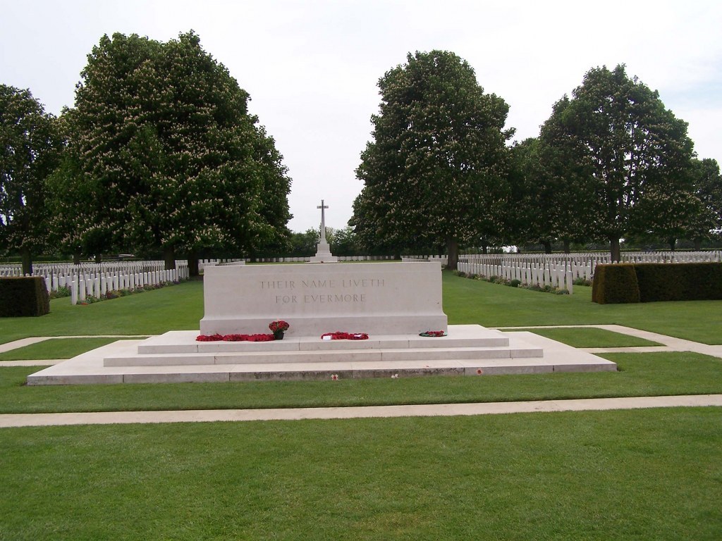
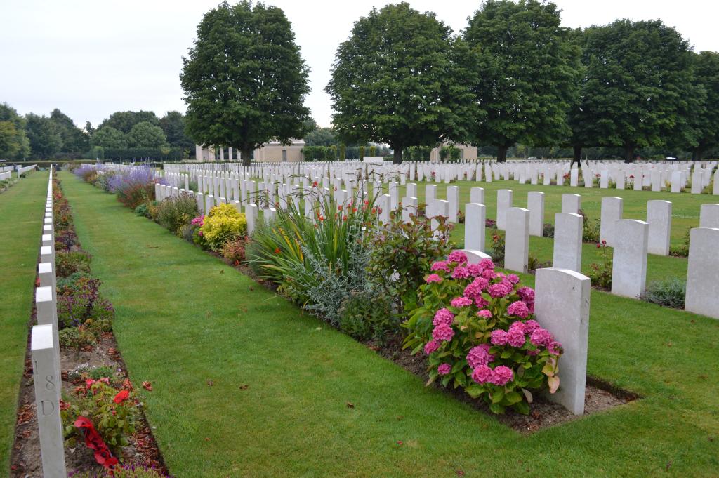
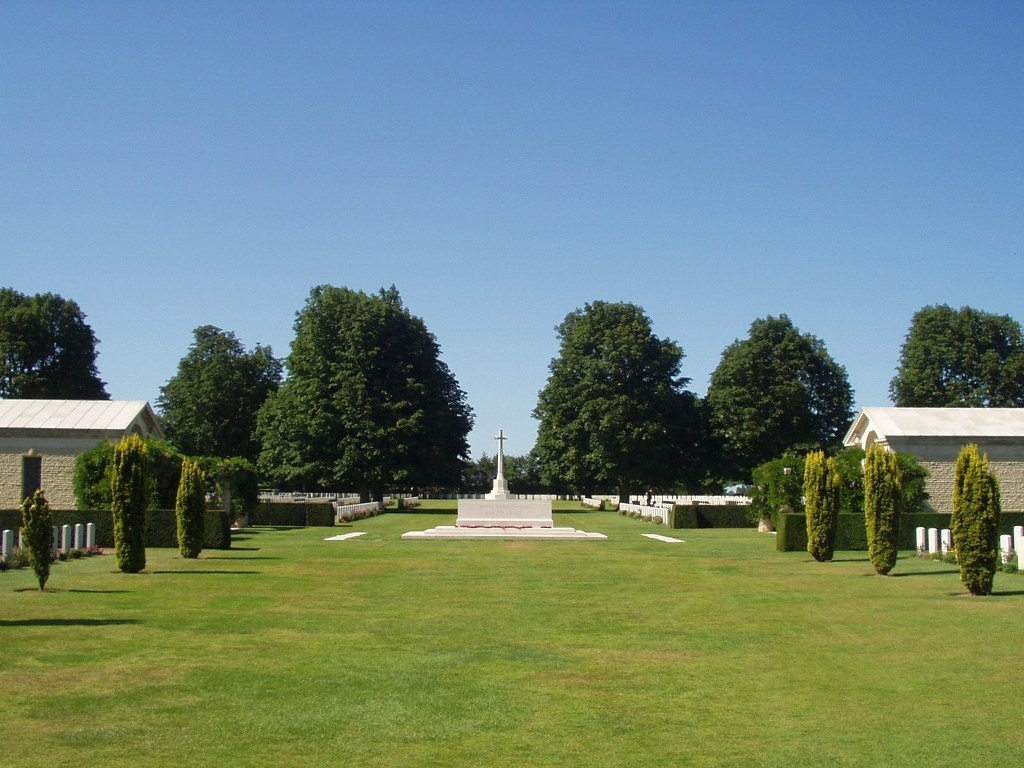
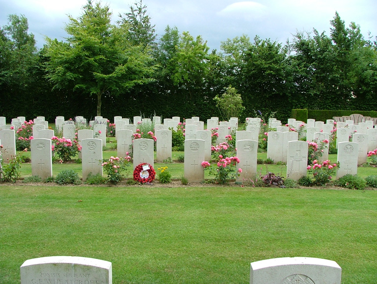
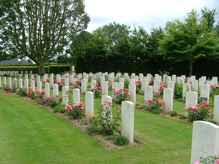
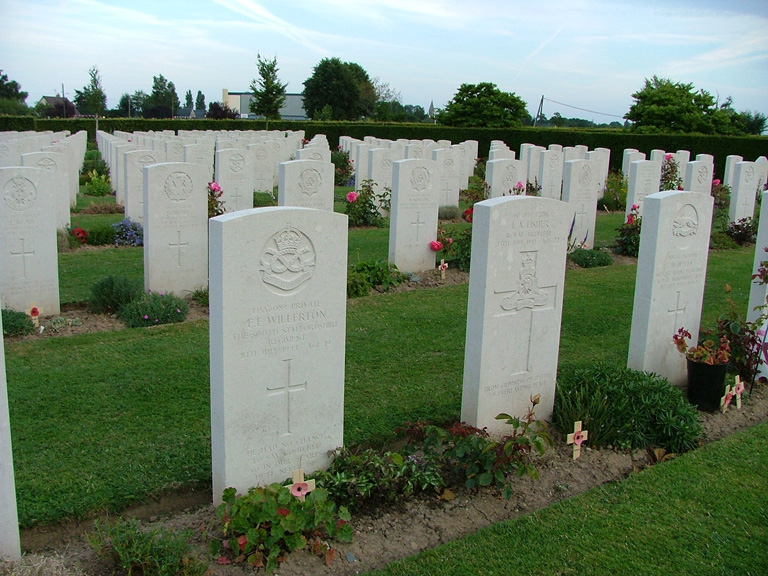
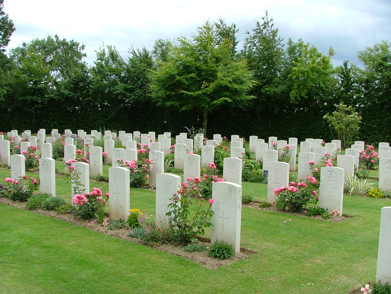
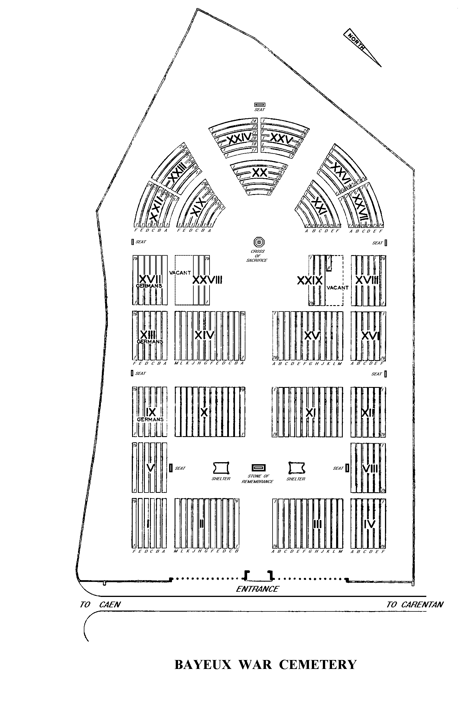
There was little actual fighting in Bayeux although it was the first French town of importance to be liberated. Bayeux War Cemetery is the largest Commonwealth cemetery of the Second World War in France and contains burials brought in from the surrounding districts and from hospitals that were located nearby.
BAYEUX WAR CEMETERY, which was completed in 1952, contains 4,144 Commonwealth burials of the Second World War, 338 of them unidentified. There are also over 500 war graves of other nationalities, the majority German.
The BAYEUX MEMORIAL stands opposite the cemetery and bears the names of more than 1,800 men of the Commonwealth land forces who died in the early stages of the campaign and have no known grave. They died during the landings in Normandy, during the intense fighting in Normandy itself, and during the advance to the River Seine in August.