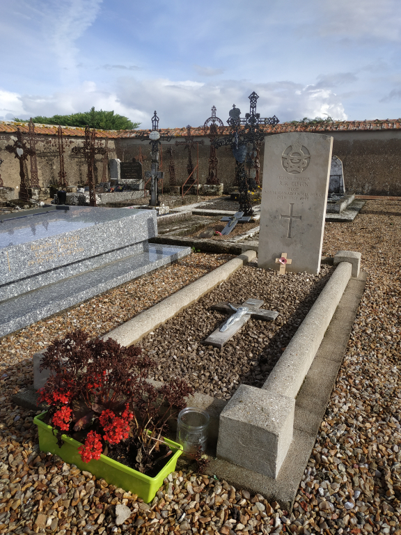
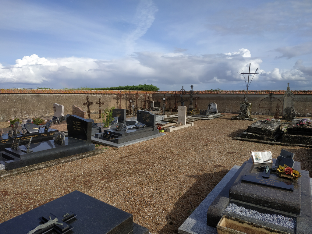
St. Cloud-En-Dunois Communal Cemetery
- Country France
- Total identified casualties 1 Find these casualties
- Region Eure-et-Loir
- Identified casualties from Second World War
- GPS Coordinates Latitude: 48.0393, Longitude: 1.4714
Location information
St. Cloud-en-Dunois is a village and commune on the Chateaudun-Orleans road (N.155) 5 miles (8 kilometres) east-south-east of Chateaudun. The most convenient railway station is Chateaudun on the Paris-Vendome-Tours line, and taxis can be hired at the station. The communal cemetery is south-east of the church. On the north-eastern side of the main path from the church to the crucifix, and near the south-eastern boundary is the grave of an airman of the Royal Canadian Air Force.