Broue Communal Cemetery
- Country France
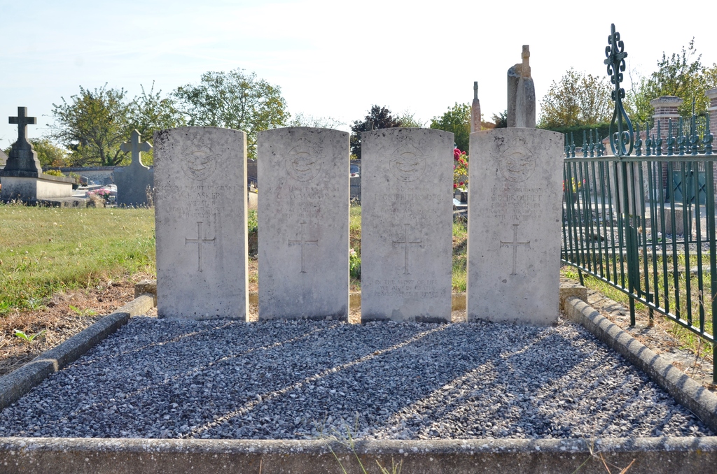
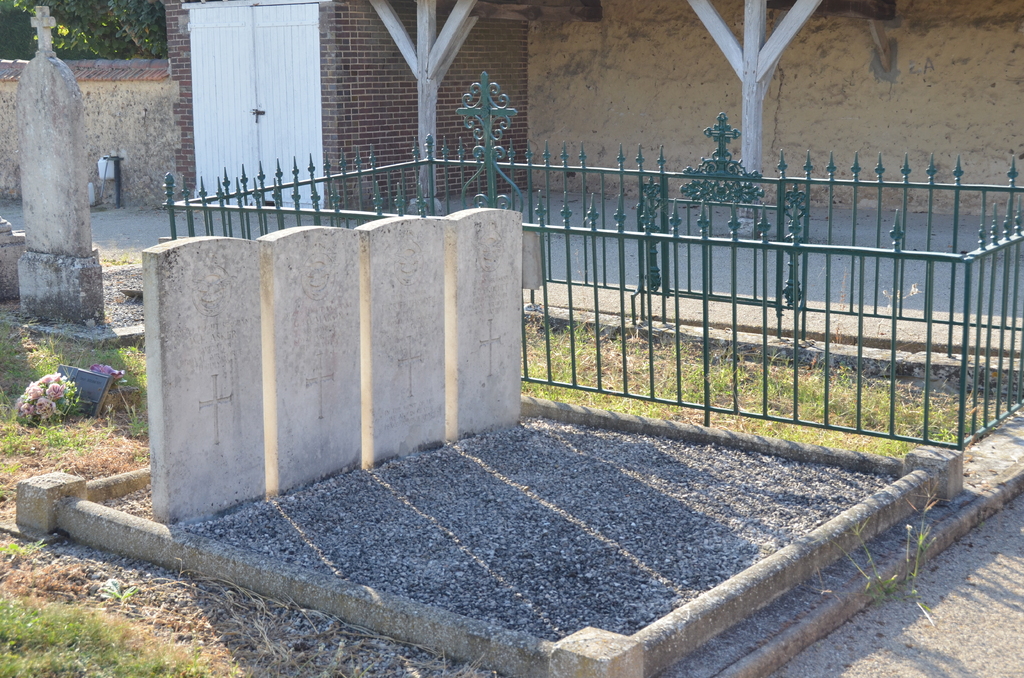
- Total identified casualties 4 Find these casualties
- Region Eure-et-Loir
- Identified casualties from Second World War
- GPS Coordinates Latitude: 48.75225, Longitude: 1.52143
Location information
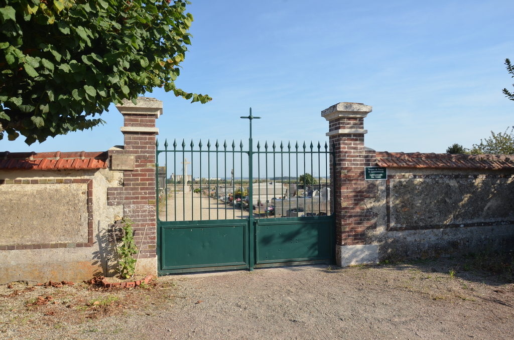
Broue is a village and commune some 11 kilometres east of Dreux and 9 kilometres south-west of Houdan. The Cemetery is on the northern side of the village on the D21 road to the Hamlet of Marolles which is on the main Dreux-Houdan road. In the south-western corner is the Collective Grave of four airmen of the Royal Air Force.