Verneuil-Sur-Avre Communal Cemetery
- Country France
- Total identified casualties 5 Find these casualties
- Region Eure
- Identified casualties from Second World War
- GPS Coordinates Latitude: 48.73608, Longitude: 0.92124
Location information
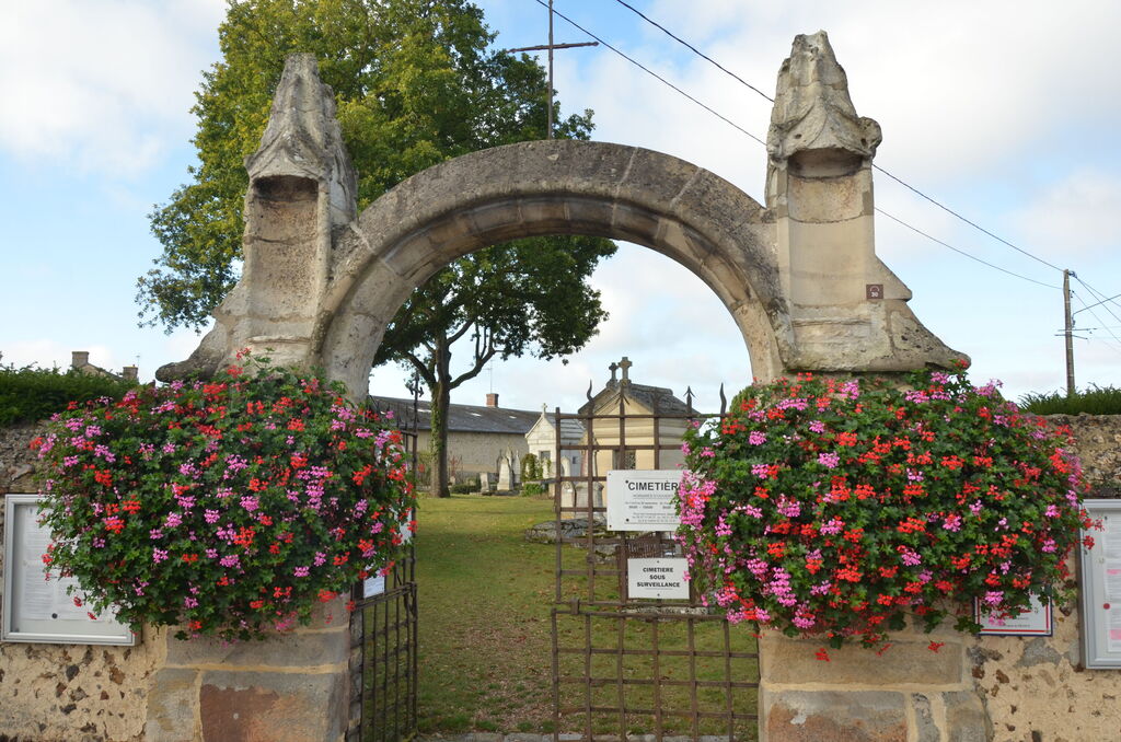
The town of Verneuil-sur-Avre is 40 kilometres south-south-west of Evreux on the Versailles-Dreux-Argentan road. The Communal Cemetery is on the south-western side of the town.
History information
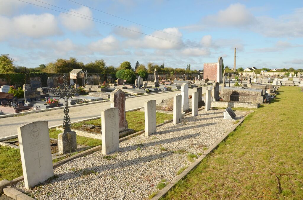
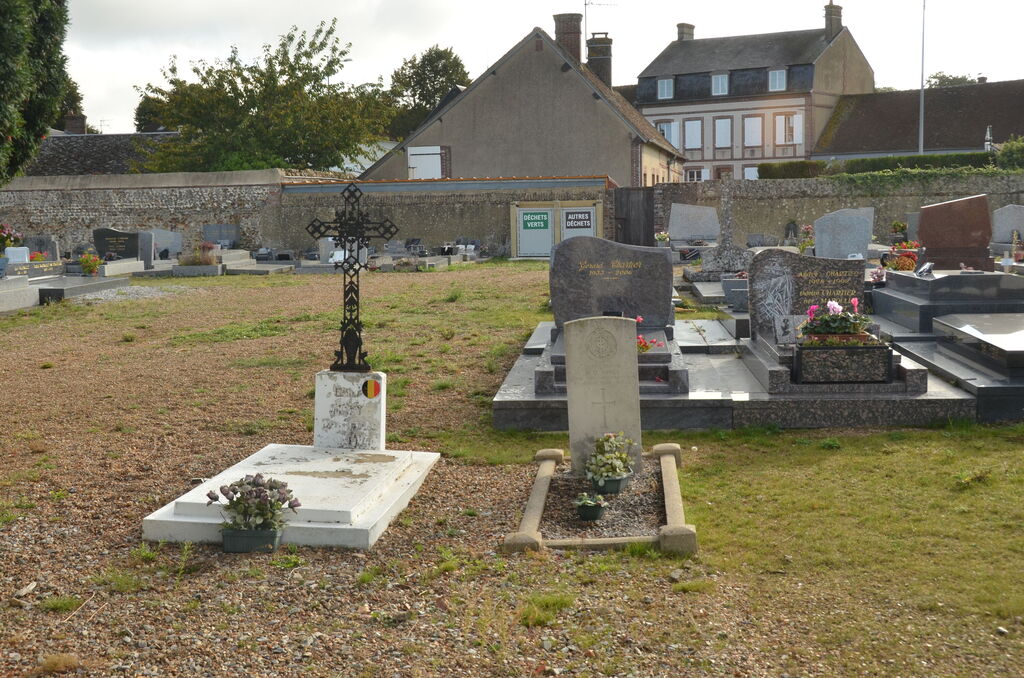
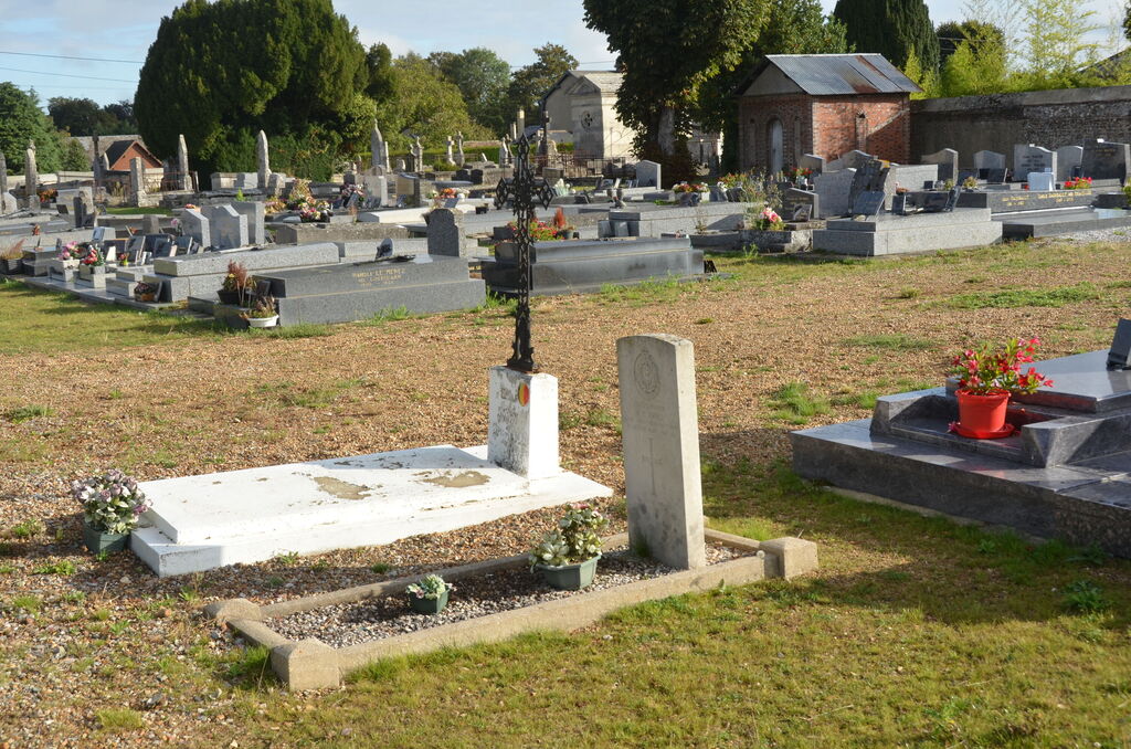
There are eight British and Commonwealth service war casualties buried here; one soldier and six airmen belonging to the forces of the United Kingdom and one soldier of the Canadian Forces. Three of the airmen belonging to the Royal Air Force are not identified.
The graves are in various positions in the cemetery. The one British soldier is in the military plot adjoining the eastern boundary the six Royal Air Force men are in another military plot near the southern boundary and the Canadian soldier is at the southern end of a plot of French civilians war victim's graves which lies northwest of a large stone Calvary.