Venables Communal Cemetery
- Country France
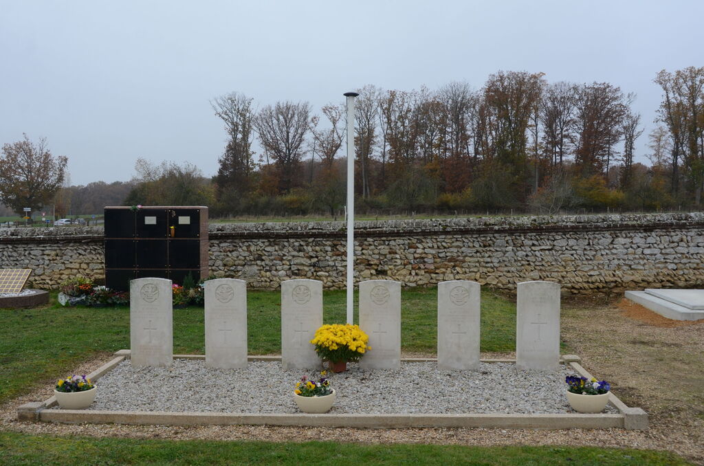
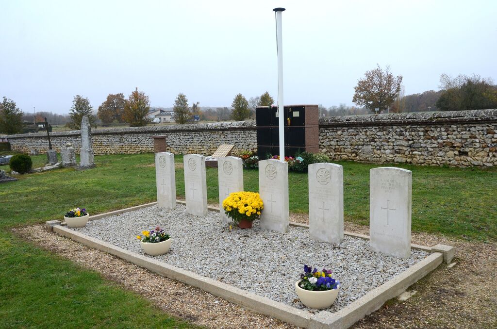
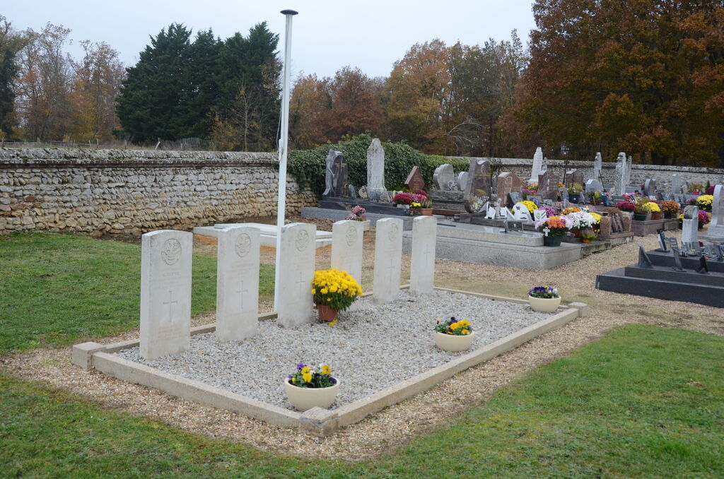
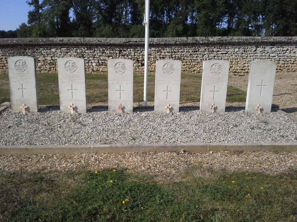
- Total identified casualties 5 Find these casualties
- Region Eure
- Identified casualties from Second World War
- GPS Coordinates Latitude: 49.19826, Longitude: 1.29086
Location information
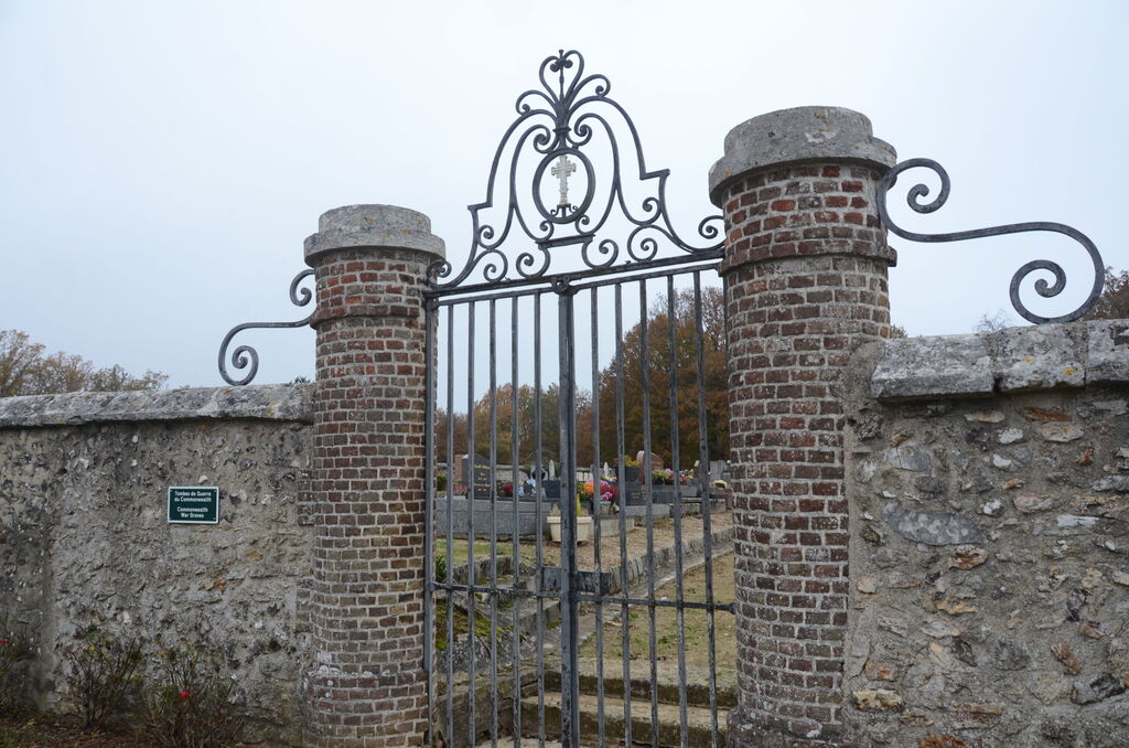
The village and commune of Venables is 24 kilometres north-north-east of Evreux and 30 kilometres south-east of Rouen. The communal cemetery is on the south-western side of the village, on the D.135 road to Heudebouville. Some 7 metres from the western wall, on the southern side of the path from the monument in the centre of the cemetery, are the graves of six British soldiers.