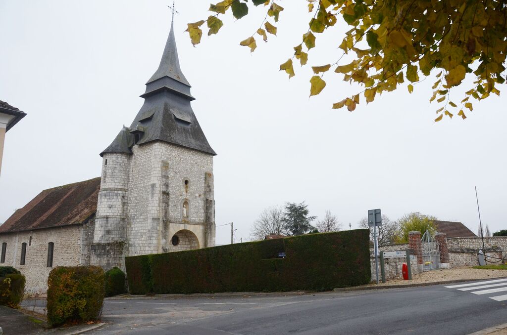
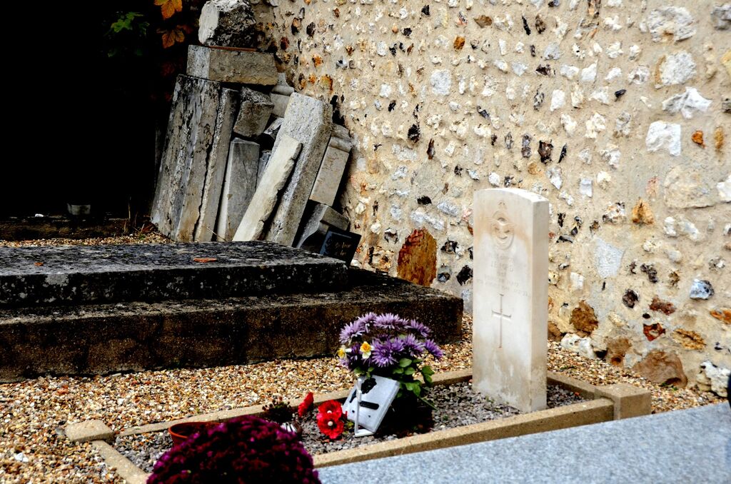
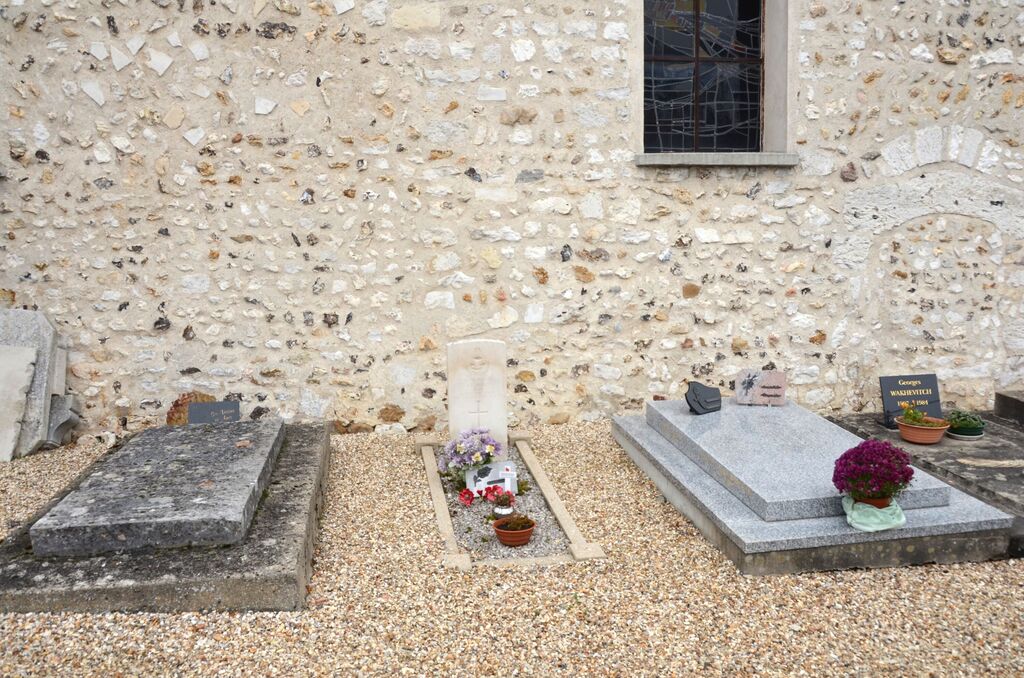
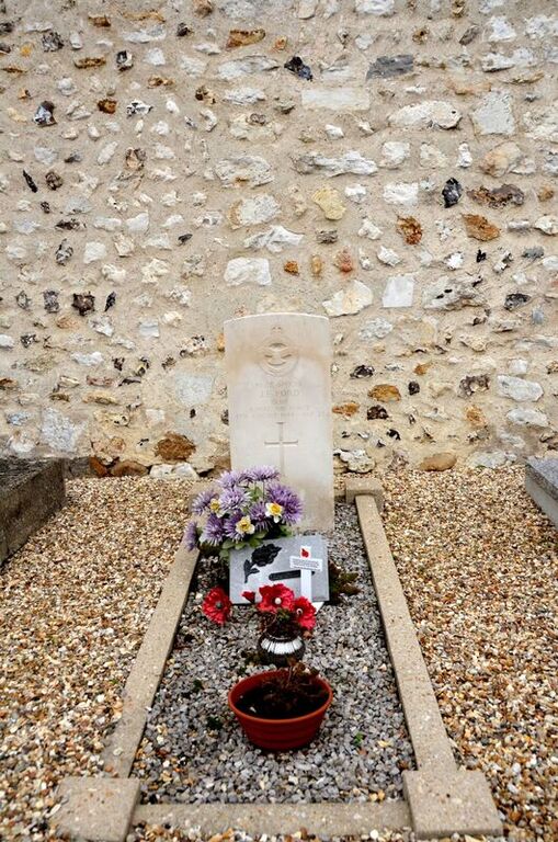
Tosny Churchyard
- Country France
- Total identified casualties 1 Find these casualties
- Region Eure
- Identified casualties from Second World War
- GPS Coordinates Latitude: 49.21738, Longitude: 1.37199
Location information
Tosny is a village and commune 17.5 miles (28 kilometres) north-north-east of Evreux and 2.5 miles south-south-west of the small town of St. Andelys. The most convenient railway station is vernon, on the Paris-Mantes-Rouen-Le Havre line. lt is about 15 miles from Tosny, but there is a bus service between this town and St. Andelys, where a taxi can be hired for the remaining small distance to the village. The churchyard is in the centre of the village. The one British grave is near the centre of the north wall of the church.