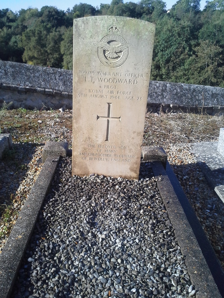
Reuilly Churchyard
- Country France
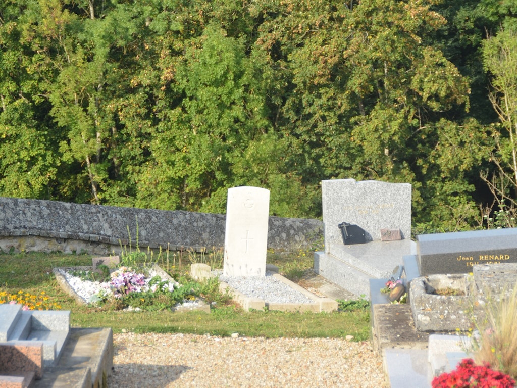
- Total identified casualties 1 Find these casualties
- Region Eure
- Identified casualties from Second World War
- GPS Coordinates Latitude: 49.0838, Longitude: 1.22023
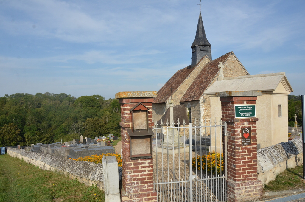
Location information
The village and commune of Reuilly is 8 kilometres north-north-east of Evreux, on the N.316 road to Les Andelys. The church and churchyard are in the fields on the northern side of Reuilly, about 900 metres from the centre of the village. The one Commonwealth war grave is some 5 yards north of the gate near the western end of the southern wall. It is on the western side of the path from this gate to the church.