Poses Churchyard
- Country France
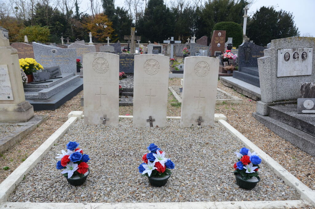
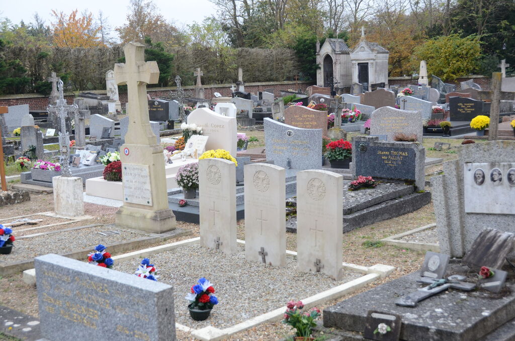
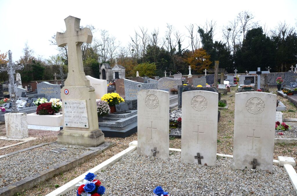
- Total identified casualties 3 Find these casualties
- Region Eure
- Identified casualties from Second World War
- GPS Coordinates Latitude: 49.29681, Longitude: 1.24954

Location information
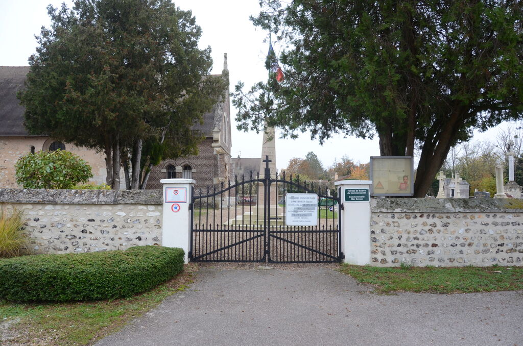
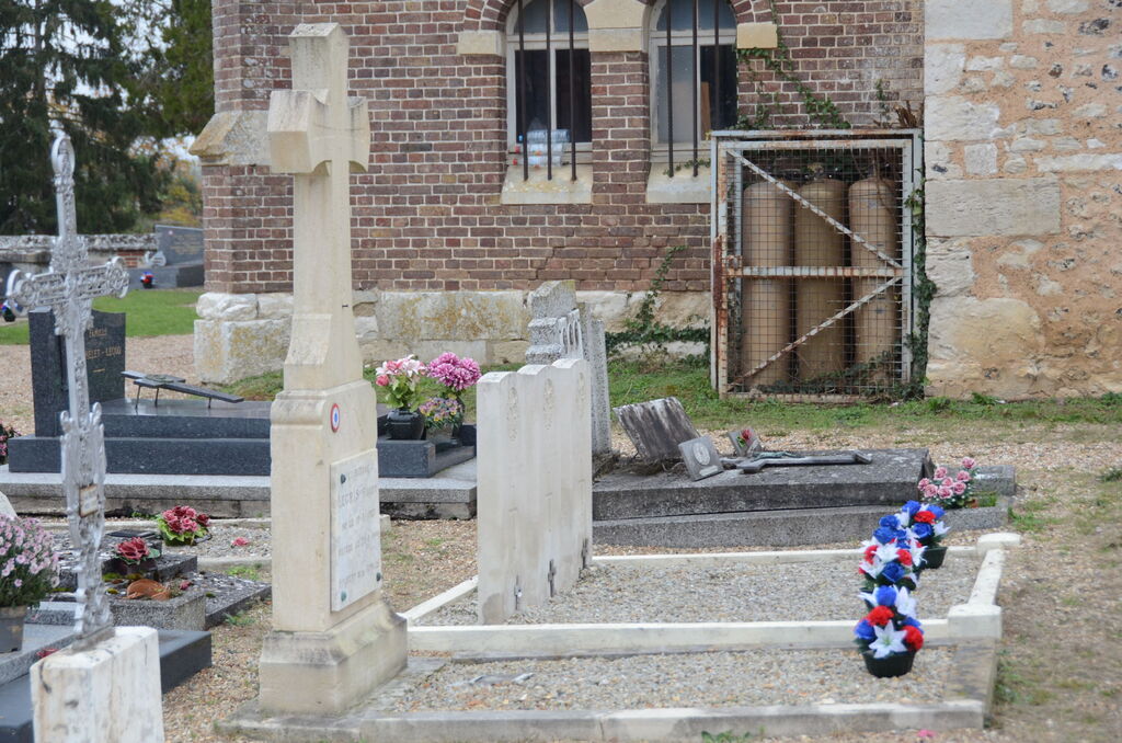
Poses is a commune in the department of Eure, some 25 kilometres south-east of Rouen. From Rouen take the direction of Pont de l'Arche (N15) and then head for "Les Damps" on the D110. After "Les Damps", take the left turning to Poses. The cemetery is situated on the route de l'Eglise on the outskirts of the village. The three Commonwealth war graves are at the rear of the cemetery.
Visiting information
The cemetery is open from 9 a.m. to 6 p.m. each day.