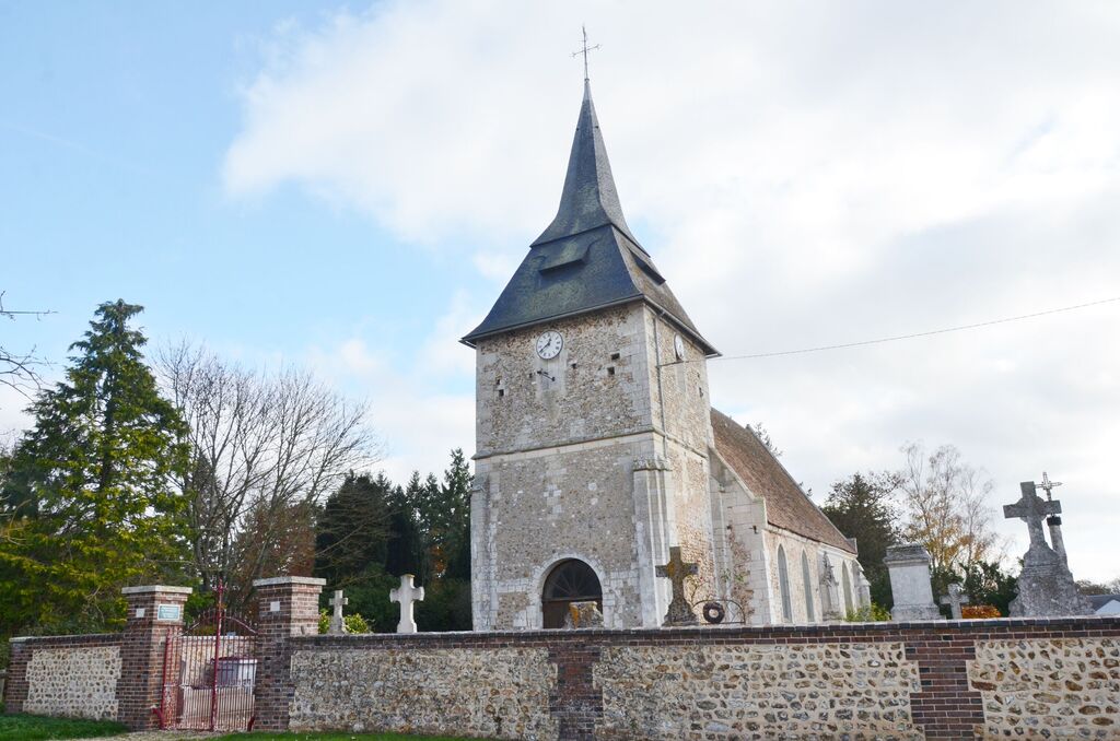
Portes Churchyard
- Country France
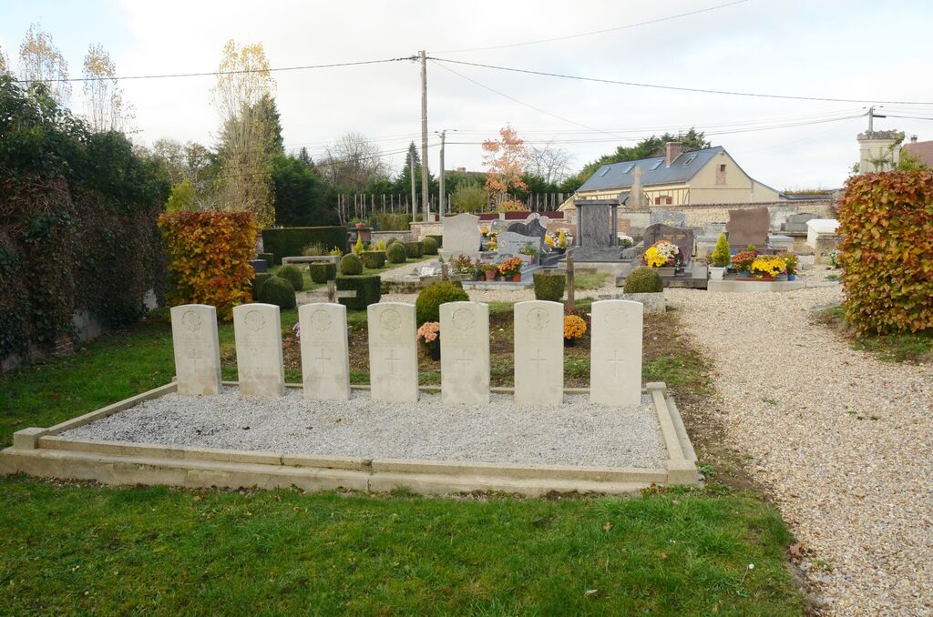
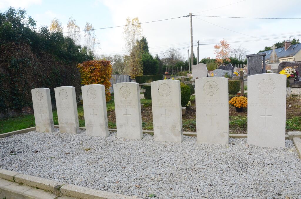
- Total identified casualties 7 Find these casualties
- Region Eure
- Identified casualties from Second World War
- GPS Coordinates Latitude: 49.02924, Longitude: 0.95278
Location information
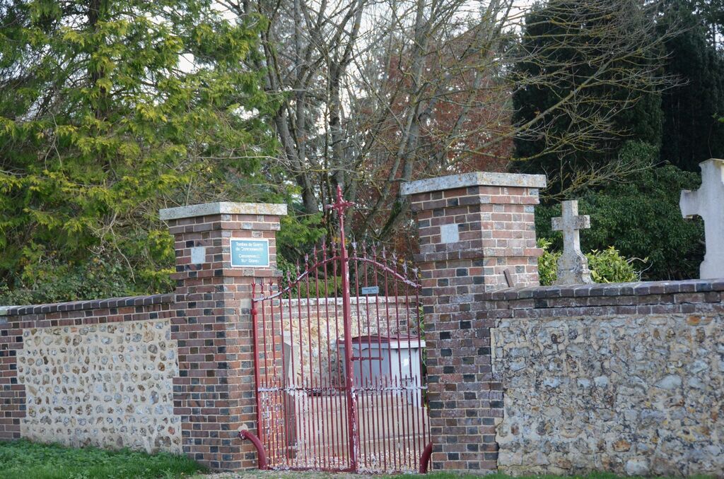
The village of Portes lies 14 kilometres west of Evreux and 2 kilometres east of Neubourg-Conches road (N840). Portes is a very small village and the church and churchyard are easy to find within the village. Near the southern boundary of the churchyard, south of the centre of the church, are the graves of seven soldiers belonging to the forces of the United Kingdom.