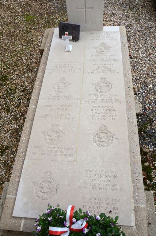
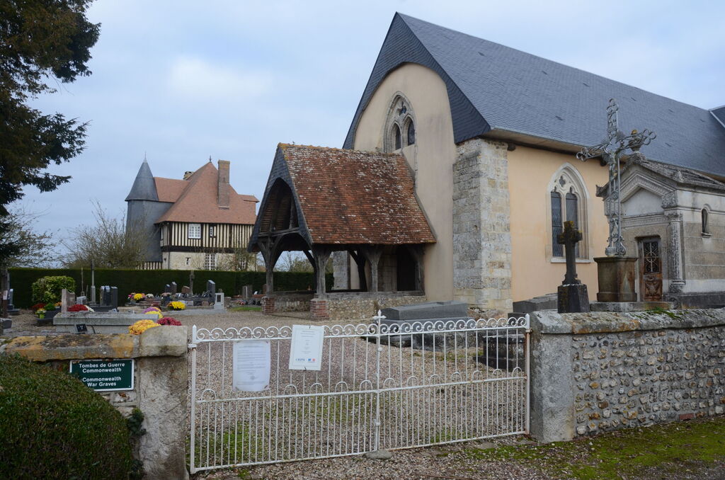
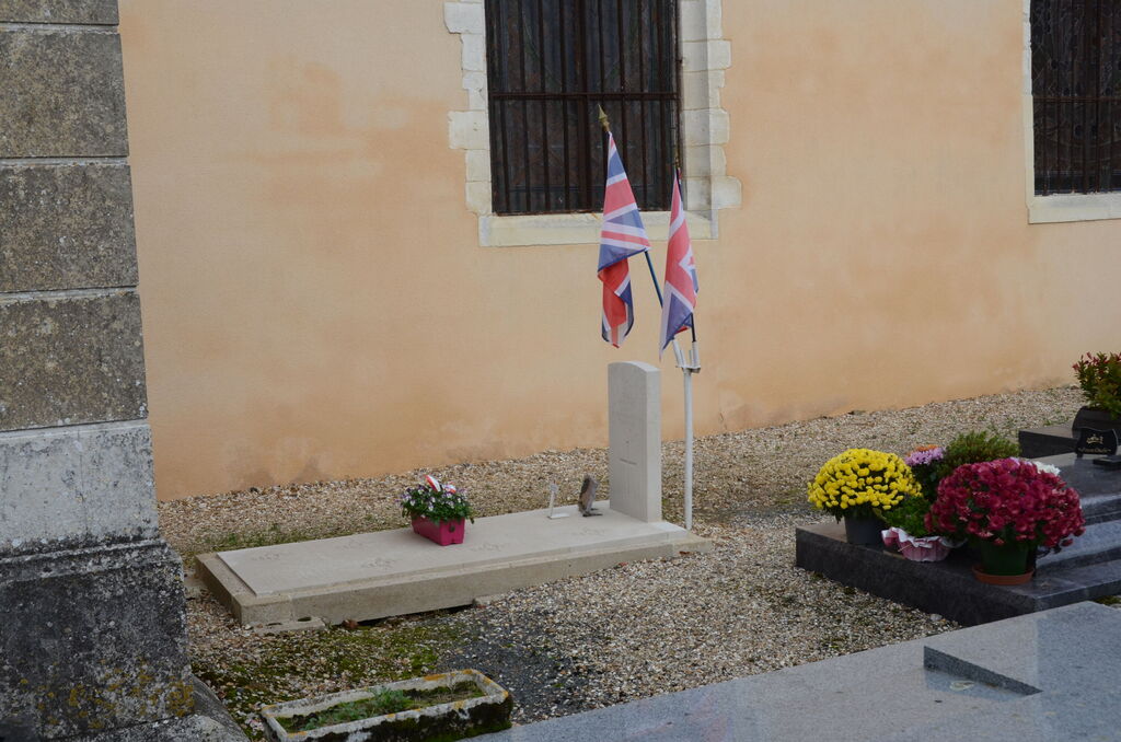
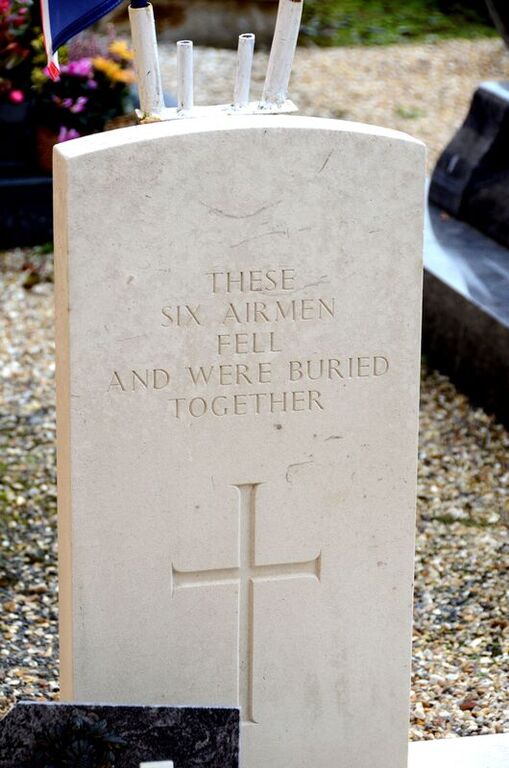
Piencourt Churchyard
- Country France
- Total identified casualties 6 Find these casualties
- Region Eure
- Identified casualties from Second World War
- GPS Coordinates Latitude: 49.16741, Longitude: 0.39858
Location information
The village and commune of Piencourt lies about 13 kilometres east of Lisieux, nearly 3 kilometres north of the main road (N.13) from Lisieux to Evreux. Near the south-western corner of the churchyard is the collective grave of six airmen of the Royal Air Force.